America, Louisiana  by Henri Chatelain
Scroll to zoom, click for slideshow

America, Louisiana 1719

Henri Chatelain

Currently unavailable via Gallerease

  • About the artwork
    Carte de la nouvelle France, on se voit le cours des Grandes Rivieres de S. Laurens et de Mississippi. Copper engraving by Henri Chatelain. Published in Amsterdam 1719. From Chatelain's "Atlas Historique et Méthodique". With original hand colouring. Size: 42,1 x 48,4 cm. Beautiful map of eastern North America copied from De Fer, and designed to show the courses of the St. Laurence and the Mississippi rivers. Containing lots of inland detail with notes and vignettes of the indigenous peoples and fauna of North America. In an inset at top left the coast of Louisiana, in another inset at bottom right a panoramic view and plan of Quebec. Louisiana and the Mississippi valley are based on Delisle's manuscript map of 1701. The geography of New England and Eastern Canada originates with Franquelin. A large-scale map of the Mississippi delta and Mobile Bay, based on the voyage of Le Moyne is inset at top left. The map is filled with wildlife, scenes of Indians hunting, Indian villages and notations, and the oceans are embellished with numerous ships, canoes and sea monsters. The map was issued to promote the newly established Compagnie Francoise Occident, which was formed to fund the debt of Louix XIV and offered inducements to encourage settlement in Louisiana. Price: Euro2.250,- (excl VAT/BTW)
  • About the artist

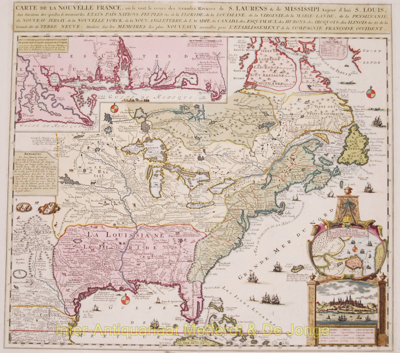
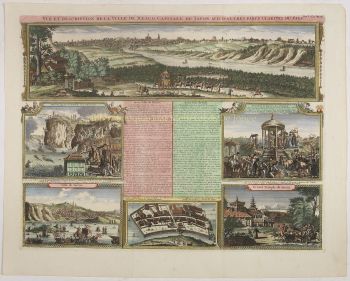
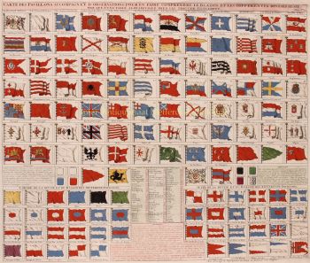
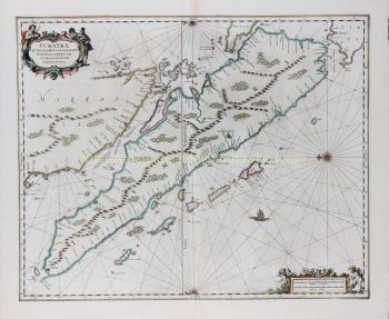
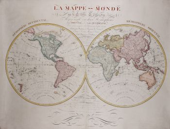
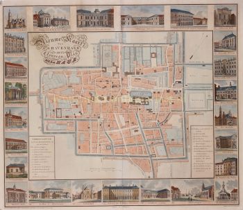
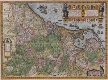
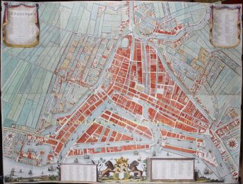
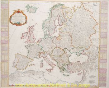
    Huguenot pastor Henri Abraham Chatelain (1684–1743) was born in Paris, but moved across Europe as religious hostilities increased under Louis XIV. Throughout the early decades of the seventeenth century, Chatelain worked with his father, Zacharie (died 1723), and later his son, also Zacharie (1690–1754), to publish a number of influential maps and books. Chatelain drafted his own original maps, which conveyed the breadth of his historical and geographical knowledge through their ethnographic, heraldic and cosmographic details.

    From 1705 to 1720, the Chatelain family published the monumental Atlas historique, ou nouvelle introduction à l’histoire, à la chronologie & à la géographie ancienne et moderne in seven volumes, which included two hundred and eighty-five engraved maps, views, plans, tables, heraldic and genealogical charts. While Henri Chatelain himself was responsible for the plates, the extensive accompanying text was compiled by historian Nicholas Gueudeville-Garillon, and included a supplement by polymath Henri Philippe de Limiers.

    Chatelain based his maps on the work of contemporary and earlier cartographers and travel writers, including Guillaume Delisle and Nicholas Sanson.

Artwork details