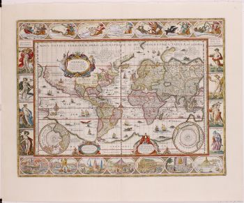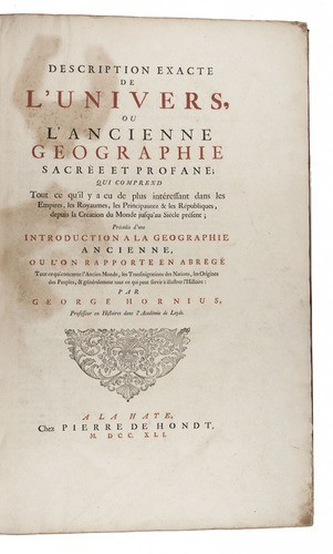
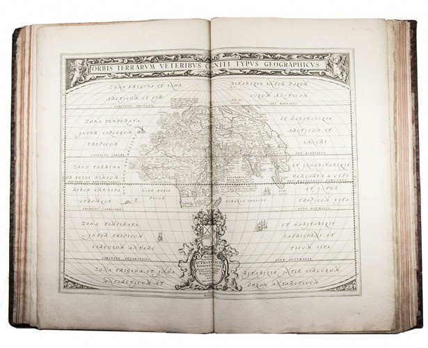

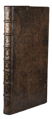


Most extensive edition of Hornius’s historical atlas 1740
Various artists
Currently unavailable via Gallerease
Related artworks
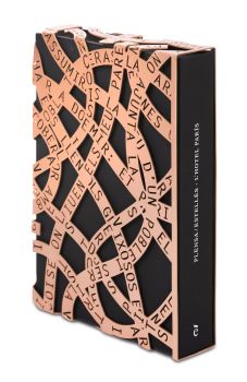
Tilmanus Nicolaus Maastricht
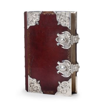
Missale Romanum with Dutch silver mounts1788 - 1792
Price on requestJacob J. Roosjen SRI
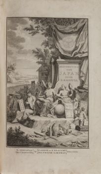
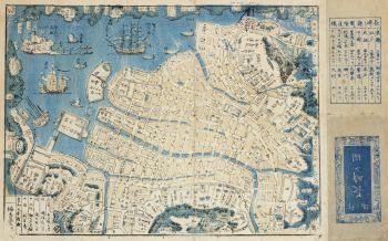
Engelbert Kaempfer
ENGELBERT KAEMPFER BOOK1651 - 1716
Price on requestZebregs & Röell - Fine Art - Antiques
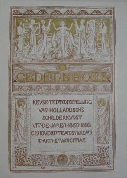
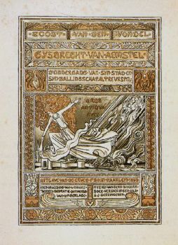
Antonie Derkinderen
Memory book Exhibition of Dutch Painting1892
Price on requestKunsthandel Pygmalion
Antonie Derkinderen
Memory book Exhibition of Dutch Painting1892
Price on requestKunsthandel Pygmalion
!["SKIMMING THE WATER [MENAGE A QUATRE]" Signed book plus small artwork by LAWRENCE WEINER](https://media-2.gallerease.com/images/442bfd5f-fc31-4e18-a2fa-ee0c08eade64/350x350/skimming-the-water-menage-a-quatre-signed-book-plus-small-artwork.jpg)
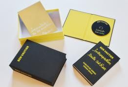
LAWRENCE WEINER
"SKIMMING THE WATER [MENAGE A QUATRE]" Signed book plus small artwork2010 - 2014
Price on requestGallerease Selected
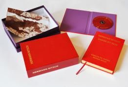
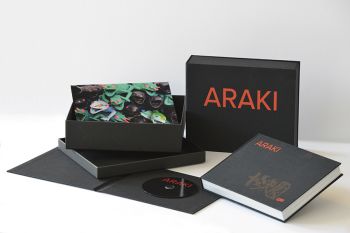
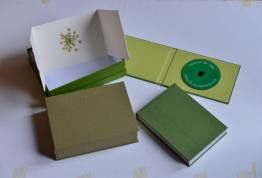
Hermann Nitsch
"UNDER MY SKIN" Signed book incl. small artwork and DVD in a matching box2010 - 2014
Price on requestGallerease Selected
Engelbert Kaempfer
ENGELBERT KAEMPFER BOOK1651 - 1716
Price on requestZebregs & Röell - Fine Art - Antiques
Tilmanus Nicolaus Maastricht
Missale Romanum with Dutch silver mounts1788 - 1792
Price on requestJacob J. Roosjen SRI