Antique map of Haarlemmermeer - Melchior Bolstra 1740
Melchior Bolstra
55 ⨯ 63 cm
€ 1.250
Inter-Antiquariaat Mefferdt & De Jonge
- About the artworkTHE HAARLEMMERMEER, THE LARGEST LAKE IN HOLLAND “Afbeeldinge van Rhynlands Waterstaat ten Opzigte van ’t Vergrooten der Haarlemmer of Leydse Meer met de hyrna Gecombineerde en Omleggende Veenplassen” [Depiction of the water management of Rijnland with regard to the enlargement of the Haarlemmer- or Leidsemeer, together with the subsequently combined and surrounding peat lakes.] Copper engraving made by Melchior Bolstra in 1740. Coloured by a later hand. Size: 55 × 63.5 cm. Melchior Bolstra, surveyor of the Rijnland water authority, investigated the progressive erosion of the shores of the Haarlemmermeer over time. The former extent of the lake in earlier centuries is indicated by dotted lines. It clearly shows that the lake originally consisted of several smaller bodies of water that gradually merged into one large expanse. Bolstra also devised a plan for the reclamation of the lake. Plans for draining the Haarlemmermeer had existed since the seventeenth century, but they met with strong opposition. Leiden, for example, was unwilling to relinquish its lucrative fishing rights, while Haarlem resisted the project because it derived substantial income from shipping. After a storm in 1836 drove the water as far as the gates of Leiden and Amsterdam, King William I decided that the lake had to be drained. This was ultimately achieved by steam power between 1848 and 1852. Price: Euro 1.250,-
- About the artist
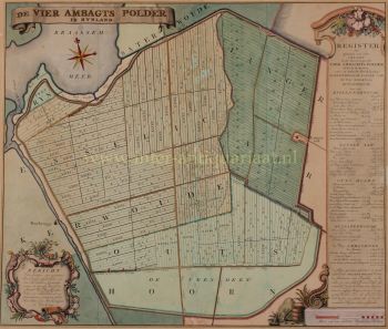
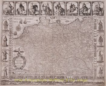
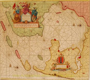
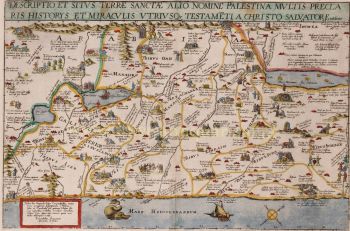
Melchior Bolstra (Makkum, 1703 or 1704 - Leiden, before November 9, 1779) was a Dutch land surveyor, who was employed by the Hoogheemraadschap van Rijnland for 45 years. He also published a very large number of maps of regions outside the Rhineland.
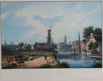
On October 1, 1731, he was appointed surveyor of the Rijnland Water Board. In addition to his cartographic work, he was an experienced hydraulic engineer who made many accurate river and lake maps, such as of the Haarlemmermeer and Leidse Meer. became.
In 1742, the land surveyor Bolstra and the overseers Nicolaus Cruquius and Jan Noppen were commissioned by their employer, the board of the Hoogheemraadschap, to investigate a possible reclamation of the Haarlemmermeer. They recommended the construction of a wide ring canal and drainage by 112 windmills, supplemented by an outlet on the North Sea near Katwijk. The total costs of this proposal would amount to approximately 7 million guilders.
In 1774, they received a follow-up assignment, which was mainly aimed at further combating bank erosion. Ultimately, this lake would only be drained more than a century later, with the help of 3 steam pumping stations.In 1766 he and Frederik Beijerinck were commissioned to do a study of the mouth of the Pannerdens Kanaal. In the years that followed, he made the necessary maps of this area to get an idea of the many shallows. This led to a proposal for deepening works, but these were not carried out because the tenders were too far above the estimates.
In 1772, Bolstra worked with Christiaan Brunings and Jacob Engelman on a study to combat the silting up of the IJ near Amsterdam. This also led to a plan in 1773 that was not implemented because of the high costs.
On November 9, 1776, Klaas Vis was appointed as successor at Rijnland to Bolstra, who had died shortly before that moment.
Are you interested in buying this artwork?
Artwork details
Related artworks
Peter Paul Rubens (follower of )
Portrait of a man dressed up as an oriental man1750 - 1850
Price on requestGallerease Selected
Unknown artist
Een Gotische zuidelijke Nederlanden wandklok1580 - 1590
Price on requestNico van den Assem restauratie
Gobert Denis Chambon/ Jean Janvier, S.G. Longschamps
Magnificient antiek World map1754
€ 17.500Inter-Antiquariaat Mefferdt & De Jonge
Curated byDanny Bree
1 - 4 / 24- 1 - 4 / 24
- 1 - 4 / 8
- 1 - 4 / 12


