British Isles - Willem Blaeu, c. 1645 by Willem Janszoon Blaeu
Scroll to zoom, click for slideshow

British Isles - Willem Blaeu, c. 1645 1645

Willem Janszoon Blaeu

PrintEngraving
41 ⨯ 52 cm
€ 1.650

Inter-Antiquariaat Mefferdt & De Jonge

  • About the artwork
    BLAEU’S HEPTARCHY MAP “Britannia prout divisa fuit temporibus Anglo-Saxonum praesertim durante illorum Heptarchia.” Copper engraving published by Willem Blaeu in Amsterdam c. 1645. Verso text in Latin. With original hand colouring. Size: 41,2 x 52,6 cm. Wonderful map of Anglo-Saxon England flanked by intricately rendered portraits of the kings of the 5th through 7th centuries. The monarchs to the left are those of the pre-Christian era, while those on the right are depicted receiving Christianity or being martyred for its sake. Sebert of Essex can be seen in the second panel down on the right re-consecrating the temples of Apollo and Diane; they would become St. Paul’s Cathedral in London, and St. Peter’s at Westminster. This is often called the Heptarchy Map, as it presents England during the time following the Anglo Saxon conquest of southern England, approximately from 500 to 850 A.D., which is known as the Heptarchy Period. (The word itself refers to the seven kingdoms that would eventually combine to form the Kingdom of England in the 10th century.) The map shows England divided into the seven Saxon kingdoms, each decorated with its coat-of-arms. Scotland, Wales, and part of Ireland are also shown with their arms. The kings are shown with their escutcheons and their forces (townships) named. The vignettes flanking the two sides are identical in subject matter to those used in 1626 on a map by John Speed, but the execution of each is in the style of "an unmistakeable Dutch miniature". Price: Euro 1.650,-  
  • About the artist

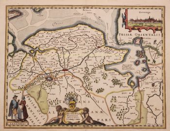
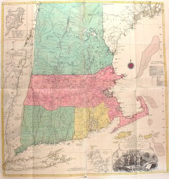
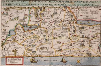
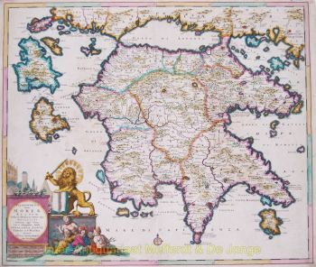
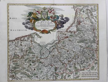
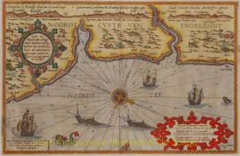
    "Willem Janszoon Blaeu and his son Joan epitomised the 'golden age' of Dutch cartography. Working during the seventeenth century, Willem Blaeu drew a number of ground-breaking maps and published the first atlas.

    He was born in 1571 in Amsterdam and worked initially as a clerk in the family herring trade. However, he was not happy with his occupation and left home in 1594 to study mathematics under Tycho Brahe, the famous astronomer. Blaeu was a good student who much impressed his tutor, and when his studies were completed he returned to Amsterdam and set up business as a map maker. His business flourished and his reputation grew. He was the first map-maker to produce single sheet maps of many European countries.

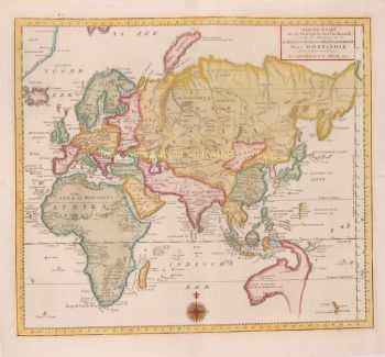
    In 1605 he made a wall map of the world, encompassing 20 sheets, each 8 feet across. This map was by far the most accurate of the period and made an outstanding contribution to knowledge of world geography.

    His map remained the most accurate until 1648, when his son, Joan, who also became a famous map-maker, updated it. But his major achievement was the production of the first atlas in 1630. The name Blaeu was actually a family nickname which Willem took up after confusion had occurred between himself and his great rival Joannes Jansonius."

Are you interested in buying this artwork?

Artwork details