Original hand-coloured historical map of Asia 1630 - 1631
Jodocus Hondius
Paper
37 ⨯ 50 cm
€ 1.450
Inter-Antiquariaat Mefferdt & De Jonge
- About the artworkEARLY DUTCH MAP OF ASIA “Asiae Nova Descriptio Auctore Jodoco Hondio.” Copper engraving made in 1628 by Jodocus Hondius for the "Atlas sive cosmographicæ meditationes de fabrica mundi et fabricati figura", here in a third state published in Amsterdam in 1630/31. Original hand-colouring with later additions. Size: 37.5 × 50.2 cm. This richly decorated map of Asia is among the most influential maps of the early seventeenth century. Its image reaches far beyond the continent itself: the map extends across the Pacific Ocean, showing the Philippines, New Guinea, and even part of North America. While the interior of Asia is still largely filled with names and geographical features that hark back to classical and medieval sources such as Strabo, Ptolemy, and Marco Polo, the coastlines reflect the most up-to-date information from late sixteenth-century Dutch cartography. The Indian subcontinent is drawn with remarkable accuracy based on the new sea charts published in Jan Huygen van Linschoten’s Itinerario (1596). In the north, Willem Barentsz’s discoveries around Nova Zembla are included and dated. Japan and Korea are depicted in the form already familiar from Abraham Ortelius’ famous 1584 map of Japan: Japan in a recognizable shape, but Korea as a large island. The southeastern part of the map shows Sumatra, the Malay Peninsula, the Philippines, and the Spice Islands in a reasonably reliable form for the time. New Guinea is accompanied by a Latin note stating that “it is not yet certain whether this is an island or part of a great southern continent.” In the northeast corner of the map appears the mythical "Fretum Anian" (Strait of Anian), which according to the Latin text might be the same as Davis Strait. This supposed connection between Asia and North America was thought by some to be the passage to the Northwest Passage. Hondius relates that attempts to explore the area had been made repeatedly, but always in vain: violent storms, the terrifying roar of the sea, and ice-covered mountains made every effort impossible. The map is not only a major geographical update of Gerard Mercator’s earlier map of Asia, but also an aesthetic masterpiece. Jodocus Hondius enriched it with an elegant strapwork cartouche, decorative rhumb lines, five sea monsters, and four ships that lend the map extra splendour. By combining classical knowledge, the latest discoveries, and a Baroque decorative style, this map stands as one of the most beautiful and influential representations of Asia in the seventeenth century. In the text block at the lower left, Hondius adds a concise description of the origins of the world’s peoples: “In Asia our first parents, Adam and Eve, were created by God. After the Flood, Noah’s Ark came to rest on the mountains of Ararat in Armenia, and from this place the world began anew in the following way: Noah had three sons, Shem, Ham, and Japheth. The descendants of Shem occupied the regions near the Euphrates, eastward. Ham went to the areas near the Jordan and the Nile, further southward. Japheth took Asia Minor, toward the west, and from there many nations spread into Europe (...). From these three lineages the principal nations of the entire world took their origin (...).” Price: 1.450,-
- About the artist
Jodocus Hondius (17 October 1563 – 12 February 1612), also known by the Latinized form of his Dutch name Joost de Hondt, was a Flemish engraver and cartographer and one of the defining figures of the Golden Age of Dutch cartography. To distinguish him from his son, he is often referred to as Jodocus Hondius the Elder.
Hondius rose to prominence through his exceptional ability to combine technical engraving skill with geographical scholarship. He is best known for his early and influential maps of Europe and the New World, which helped shape Europe’s visual understanding of newly explored territories at the turn of the seventeenth century. His maps are characterised by clarity, precision and rich decorative detail—qualities that made them both authoritative scientific documents and highly desirable works of art.
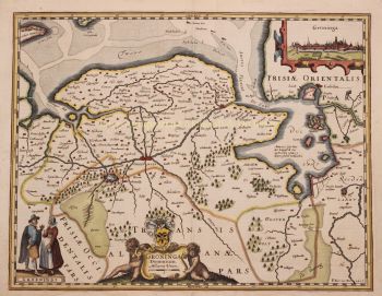
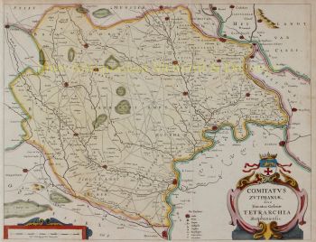
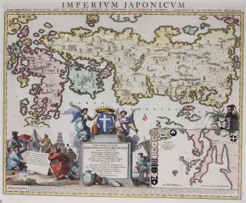
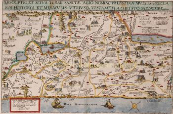
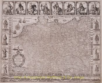
A pivotal moment in Hondius’s career was his acquisition of the original printing plates of Gerardus Mercator. At a time when Mercator’s reputation had begun to fade, Hondius republished and expanded these plates, integrating his own revisions and newly available geographical knowledge. This act not only revived Mercator’s legacy but also ensured its lasting influence, leading to the celebrated Mercator–Hondius atlases that would dominate European cartography for decades.
Beyond mapmaking, Hondius was also a skilled portrait engraver. His portraits of Francis Drake are among the most recognisable visual representations of the famed English navigator, further demonstrating Hondius’s versatility and cultural reach.
As one of the central figures of the Dutch cartographic Golden Age (c. 1570s–1670s), Hondius played a crucial role in establishing Amsterdam as the leading centre of cartography in seventeenth-century Europe. His work bridged art, science and commerce, shaping how the world was mapped, understood and imagined. Today, Jodocus Hondius the Elder is remembered as a master engraver, an innovative publisher, and a key architect of modern cartographic history.
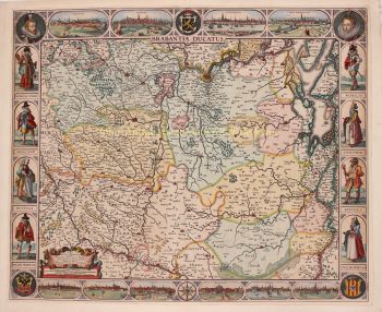
Are you interested in buying this artwork?
Artwork details
Related artworks
- 1 - 4 / 6
Unknown artist
Dutch School pair of equestrian paintings 1650 - 1750
Price on requestGallerease Selected
1 - 4 / 24Cornelis Anthonisz Theunissen
VERY RARE FIRST PRINTED MAP OF AMSTERDAM, A CITY ON THE RISE1544
€ 125.000Inter-Antiquariaat Mefferdt & De Jonge
Curated byDanny Bree
1 - 4 / 24- 1 - 4 / 17
- 1 - 4 / 24
- 1 - 4 / 12


![[copy] No Puedo Creerle a Nadie III by Hiroomi Ito](https://media-2.gallerease.com/images/4ae368a6-ec96-434e-9996-95a1be66f52d/350x350/copy-no-puedo-creerle-a-nadie-iii.jpg)


