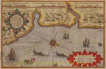
“A New Map of the City of Amsterdam.” Copper engraving made in 1720 by Samuel Parker and John Senex for "A New General Atlas Containing a Geographical and Historical Account of All the Empires, Kingdoms, and Other Dominions of the World." Coloured by a later hand. Size: 49.5 × 59.5 cm. Notably, the map depicts the layout of the inner gardens within the city blocks, although it is unlikely that this represents a fully accurate view of the situation in 1720. At the left of the cartouche sits the Maid of Amsterdam. She is shown holding a Cornucopia, from which fruits and flowers spill forth. This traditional symbol of wealth, prosperity, and economic abundance refers to Amsterdam as a commercial metropolis and the staple market of Europe. Beside her stands a beehive, an emblem of industry, order, and collective labour, underscoring the city’s mercantile spirit and civic virtues. At her feet lie tools associated with crafts and manufacture. To the right of the cartouche is a fisherman holding an oar, surrounded by fishing nets, fish, and shells. This figure embodies the maritime and nautical foundations of Amsterdam’s prosperity: fisheries, inland navigation, and the city’s direct relationship with sea, rivers, and harbours. His presence forms a deliberate counterpoint to the more elevated figure of the city maiden, emphasizing that urban wealth ultimately rests on practical labour and the exploitation of water. The appearance of an English-language map of Amsterdam reflects the close political and economic interconnection between Great Britain and the Dutch Republic in early eighteenth-century Europe. Since the Glorious Revolution of 1688, both states had been allies and partners in trade, finance, and diplomacy. The map was issued as part of an English-language world atlas for a British audience and was dedicated to John Hedworth of Harraton, who in 1720 was a Member of the English House of Commons, underscoring that such maps also functioned as prestige objects within the political and social elite. Literature: Marc Hameleers (2003) “Amsterdamse Plattegronden 1866-2000”, no. 105. Price: Euro 1.250,-