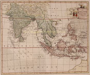
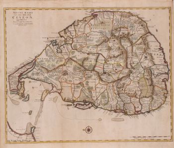
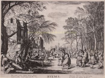
Melchior Bolstra (Makkum, 1703 o 1704 - Leida, prima del 9 novembre 1779) è stato un geometra olandese, impiegato presso la Hoogheemraadschap van Rijnland per 45 anni. Ha anche pubblicato un numero molto elevato di mappe di regioni al di fuori della Renania.
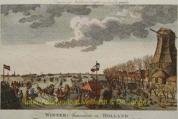
Il 1 ottobre 1731 fu nominato geometra del Rijnland Water Board. Oltre al suo lavoro cartografico, era un esperto ingegnere idraulico che realizzò molte mappe accurate di fiumi e laghi, come Haarlemmermeer e Leidse Meer.
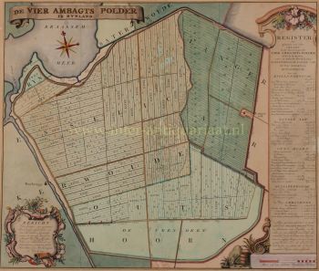
Nel 1742, l'agrimensore Bolstra ei sorveglianti Nicolaus Cruquius e Jan Noppen furono incaricati dal loro datore di lavoro, il consiglio dell'Hoogheemraadschap, di indagare su una possibile bonifica dell'Haarlemmermeer. Raccomandarono la costruzione di un ampio canale ad anello e il drenaggio mediante 112 mulini a vento, integrati da uno sbocco sul Mare del Nord vicino a Katwijk. Il costo totale di questa proposta ammonterebbe a circa 7 milioni di fiorini.
Nel 1774 ricevettero un incarico successivo, finalizzato principalmente a combattere ulteriormente l'erosione degli argini. Alla fine, questo lago sarebbe stato prosciugato solo più di un secolo dopo, con l'aiuto di 3 stazioni di pompaggio a vapore.
Nel 1766 lui e Frederik Beijerinck furono incaricati di fare uno studio della foce del Pannerdens Kanaal. Negli anni che seguirono realizzò le mappe necessarie di questa zona per farsi un'idea delle tante secche. Ne è scaturita una proposta di lavori di approfondimento, ma questi non sono stati eseguiti perché le gare erano troppo superiori ai preventivi.
Nel 1772, Bolstra lavorò con Christiaan Brunings e Jacob Engelman a uno studio per combattere l'insabbiamento dell'IJ vicino ad Amsterdam. Ciò portò anche a un piano nel 1773 che non fu attuato a causa degli alti costi.
Il 9 novembre 1776, Klaas Vis fu nominato successore a Rijnland di Bolstra, che era morto poco prima di quel momento.