THE PACIFIC OCEAN WITH EARLY PROJECTIONS OF AUSTRALIA AND NEW ZEALAND  by Artista Sconosciuto
Scroll to zoom, click for slideshow

THE PACIFIC OCEAN WITH EARLY PROJECTIONS OF AUSTRALIA AND NEW ZEALAND 1715

Artista Sconosciuto

Carta
49 ⨯ 57 cm
€ 2.450

Inter-Antiquariaat Mefferdt & De Jonge

  • A proposito di opere d'arte
    THE PACIFIC OCEAN WITH EARLY PROJECTIONS OF AUSTRALIA AND NEW ZEALAND “Magnum Mare del Zur cum Insula California / De Groote Zuyd-Zee en ’t Eylandt California”. Copper engraving, first published in Frederick de Wit’s “Orbis Maritimus ofte Zee Atlas” in 1675, here in a reissue by Louis Renard around 1715. With original hand colouring. Size: 49,7 x 57,2 cm. The map is decorated with sailing ships, two compass roses, and a sea battle all intertwined within an impressive network of rhumb lines. In the lower right corner is a most prominent title cartouche featuring a portrait of the explorer Ferdinand Magellan, four cherubs, and Neptune with his consort Salacia riding three seahorses guided by mermen. The depiction of Australasia is captivating. The chart includes the Dutch discoveries made up to Abel Tasman's second voyage of 1644, including the outlines of 'Anthoni van Diemens Landt' (Tasmania) and the partial outlines of New Zealand, discovered in 1642-3. Further north are the discoveries are noted made in 1606 by Willem Janszoon aboard his ship the Duyfken, including the shorelines of the Gulf of Carpentaria and New Guinea. The portrayal of Japan is also curious. While Honshu and Kyushu take on a modern form, the area around where Hokkaido should be situated features the mysterious ''T Land van Eso' and 'Compagnies Landt', cartographic misperceptions that appeared on maps from 1658 to until the 1790s. The first appearance of Compagnies Land was on Jan Jansson's 1658 map Nova et Accurata Japoniae Terrae Esonis, which was based on the reports from the explorations Maerten Gerritsz. de Vries and Cornelis Jansz Coen. In 1643, De Vries and Coen were dispatched by the Dutch East India Company (VOC) to search for supposed islands rumored to be rich in silver to the north of Japan. While they sighted part of Hokkaido and perhaps the Kuril Islands, they evidently failed to map the area in a comprehensive fashion. The geography of the region would not be accurately understood by Europeans until the voyage of La Pérouse in the late 1780s. This chart is considered to be one of the best Pacific Ocean maps of the period. Price: Euro 2.450,- (incl. frame)  
  • A proposito di opere artista

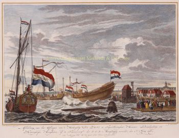
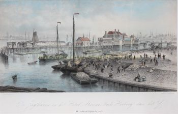
    Può succedere che un artista o un creatore sia sconosciuto.

    Alcune opere non sono determinate da chi sono state realizzate o sono state realizzate da (un gruppo di) artigiani. Esempi sono statue dell'antichità, mobili, specchi o firme non chiare o leggibili ma anche alcune opere non sono affatto firmate.

    Inoltre puoi trovare la seguente descrizione:

    •"Attribuito a …." A loro avviso probabilmente opera dell'artista, almeno in parte

    •“Studio di ….” o “Officina di” A loro avviso un'opera eseguita nello studio o nella bottega dell'artista, eventualmente sotto la sua supervisione

    •“Cerchio di…” A loro avviso un'opera del periodo dell'artista che mostra la sua influenza, strettamente legata all'artista ma non necessariamente al suo allievo

    •"Stile di..." o "Seguace di..." A loro avviso un'opera eseguita nello stile dell'artista ma non necessariamente da un allievo; può essere contemporaneo o quasi contemporaneo

    •“Modalità di…” A loro avviso un'opera nello stile dell'artista ma di epoca successiva

    •"Dopo …." A loro avviso una copia (di qualsiasi data) di un'opera dell'artista

    •“Firmato…”, “Datato…” o “Iscritto” A loro avviso l'opera è stata firmata/datata/inscritta dall'artista. L'aggiunta di un punto interrogativo indica un elemento di dubbio

    •"Con firma....", "Con data...", "Con iscrizione..." o “Riporta firma/data/iscrizione” a loro avviso la firma/data/iscrizione è stata aggiunta da qualcuno diverso dall'artista

Sei interessato ad acquistare questa opera d'arte?