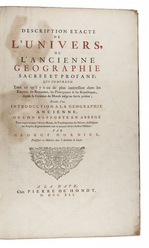


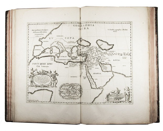
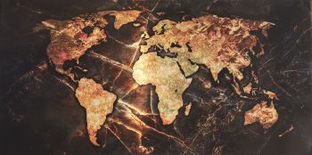
Most extensive edition of Hornius’s historical atlas 1740
Various artists
Derzeit nicht über Gallerease verfügbar
Related artworks
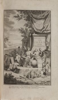
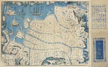
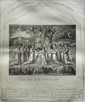
Engelbert Kaempfer
ENGELBERT KAEMPFER BOOK1651 - 1716
Preis auf AnfrageZebregs & Röell - Fine Art - Antiques
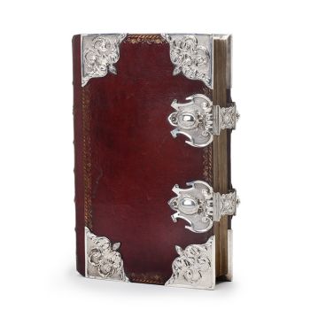
Tilmanus Nicolaus Maastricht
Missale Romanum mit holländischen Silberbeschlägen1788 - 1792
Preis auf AnfrageJacob J. Roosjen SRI
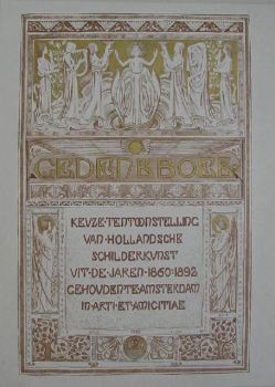
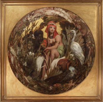
Antonie Derkinderen
Memory book Exhibition of Dutch Painting1892
Preis auf AnfrageKunsthandel Pygmalion
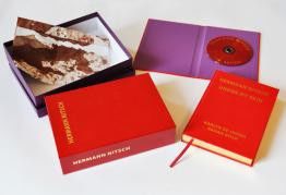
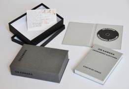
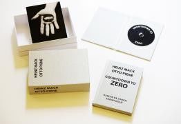
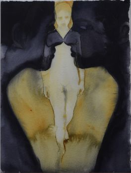
Hermann Nitsch
"UNDER MY SKIN" Signed book incl. small artwork and DVD in a matching box2010 - 2014
Preis auf AnfrageGallerease Selected
Engelbert Kaempfer
ENGELBERT KAEMPFER BOOK1651 - 1716
Preis auf AnfrageZebregs & Röell - Fine Art - Antiques
Tilmanus Nicolaus Maastricht
Missale Romanum mit holländischen Silberbeschlägen1788 - 1792
Preis auf AnfrageJacob J. Roosjen SRI
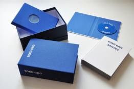
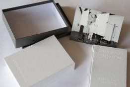
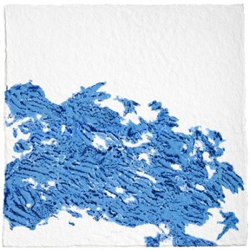
Yoko Ono
YOKO ONO: "ARISING" SIGNED BOOK PLUS SMALL ARTWORK 2010 - 2014
Preis auf AnfrageGallerease Selected
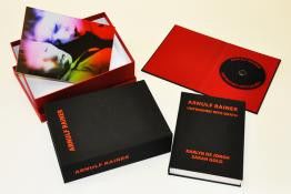
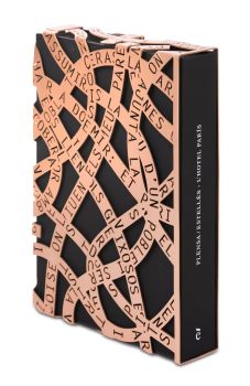
!["SKIMMING THE WATER [MENAGE A QUATRE]" Signed book plus small artwork by LAWRENCE WEINER](https://media-2.gallerease.com/images/442bfd5f-fc31-4e18-a2fa-ee0c08eade64/350x350/skimming-the-water-menage-a-quatre-signed-book-plus-small-artwork.jpg)
LAWRENCE WEINER
"SKIMMING THE WATER [MENAGE A QUATRE]" Signed book plus small artwork2010 - 2014
Preis auf AnfrageGallerease Selected

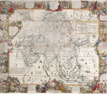
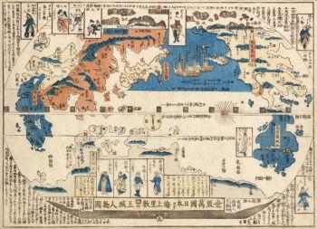
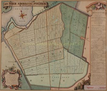
Unbekannter Künstler
A large wall map of Asia by Nicolas de Fer 1647 - 1720
Preis auf AnfrageZebregs & Röell - Fine Art - Antiques