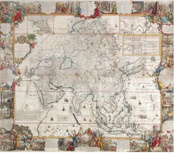
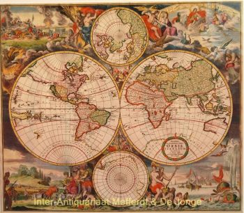
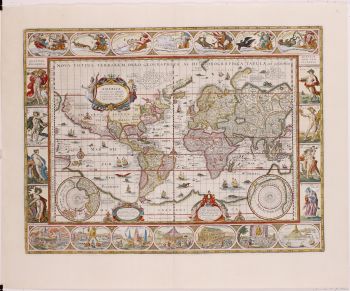
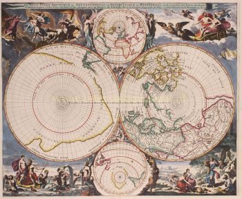
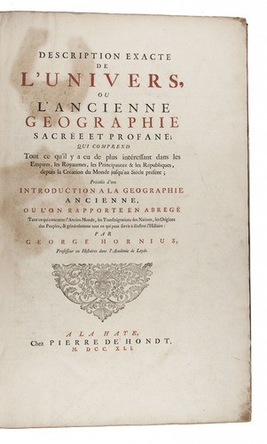
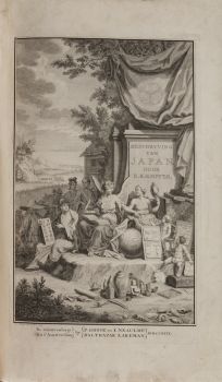
Description exacte de l'univers, ou l'ancienne geographie sacrée et profane. | Accuratissima orbis delineatio; sive geographia vetus, sacra et profana. | A full and exact description of the earth, or ancient geography, both sacred and profane.
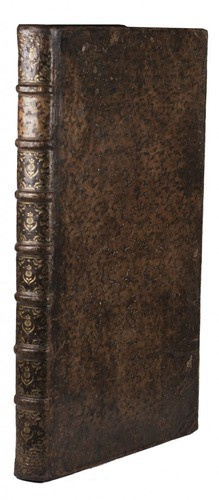
The Hague, Pieter de Hondt, 1740-1741. Folio (51 x 32.5 cm). Atlas with 63 engraved maps. It includes 6 maps, in 7 sheets, making up a large map of the Holy Land, Israel and Palestine, and a Peutinger map of the Roman roads in 4 sheets, with 2 segments each. Further with 3 title-pages, printed in red and black, in French, Latin and English, followed by Hornius's text in the said languages. Contemporary mottled calf, richly gold-tooled spine.
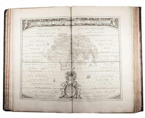
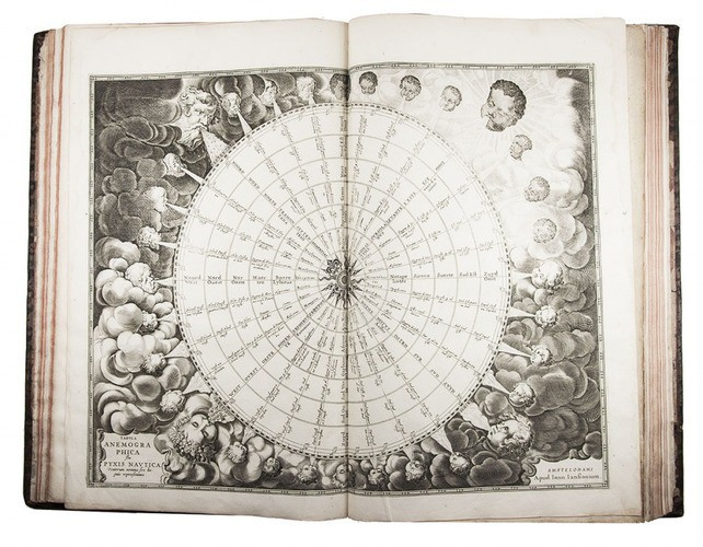
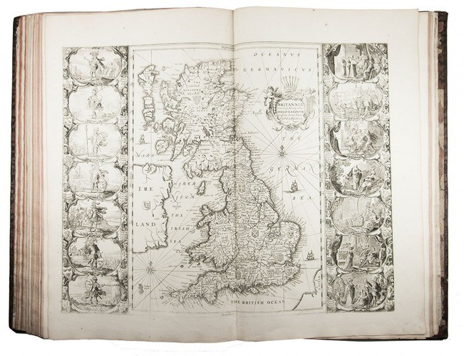
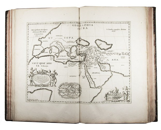
De Hondt edition of Hornius's historical atlas, incorporating the title-pages and text from the French, Latin and English editions and the full set of 63 maps from the English edition (rather than the 53 found in the other editions). The atlas consists of maps illustrating secular and religious history and one of the most notable inclusions is the seven-sheet map of the Holy Land, Israel and Palestine, which is a much enlarged edition of Adrichem's Situs terrae promissionis. It further includes maps of biblical history, Greek history, the Roman empire, Alexander the Great, Charles the Great and others.
The present English edition isn't recorded by V.d. Krogt or found in WorldCat, and is likely an earlier issue (1740) of V.d Krogt's 613: A compleat body of ancient geography, both sacred and profane (1741).
Some minor waterstains in the outer margins of the first 50 text leaves, stain in the first few leaves but with text still clear; the maps are in very good condition, one with a restored tear, a few occasional spots and sometimes minor wear along the extremities. Binding rubbed along the extremities, endpapers worn and the chemicals of the mottling damaged the sides of the binding, the tooling on the spine still clear.
V.d. Krogt, Koeman’s Atlantes Neerlandici I, 621 & 631 (cf. 613); for the maps of the Holy Land: Laor 343-349.


!["SKIMMING THE WATER [MENAGE A QUATRE]" Signed book plus small artwork by LAWRENCE WEINER](https://media-2.gallerease.com/images/442bfd5f-fc31-4e18-a2fa-ee0c08eade64/350x350/skimming-the-water-menage-a-quatre-signed-book-plus-small-artwork.jpg)