North Holland - Johannes Dou, 1729 by Johannes Dou
Scroll to zoom, click for slideshow

North Holland - Johannes Dou, 1729 1729

Johannes Dou

CartaStampa
86 ⨯ 112 cm
€ 3.250

Inter-Antiquariaat Mefferdt & De Jonge

  • A proposito di opere d'arte
    WALL MAP OF NORTH HOLLAND “’T Hoogheemraadschap vande Uytwaterende Sluysen in Kennemerlant ende West-Frieslant” [The Hoogheemraadschap (water board) of Uitwaterende Sluizen in Kennemerland and West Friesland], copper engraving after the design of Johannes Dou I, published in Amsterdam by Andries and Hendrik de Leth in 1729. Coloured by a later hand. Four sheets joined. Size: 86 × 112 cm. This map is a characteristic example of Dutch water management cartography. To protect the low-lying Holland polderland — situated in a deep basin — from the waters of the sea and rivers, a large number of waterschappen (water boards) were established throughout western Netherlands, each responsible for hydraulic works and flood protection within its district. For efficient water management, accurate overview maps were of vital importance. The Dijkgraaf (dike reeve) and High Heemraden (board members) of the water board of the Uitwaterende Sluizen in Kennemerland and West Friesland commissioned the surveyor and mapmaker Johannes Dou I (1615–1682) to chart their jurisdiction in the northern part of Holland. Dou spent an astonishing twenty years on the project, completing in 1682 an enormous map composed of sixteen sheets. Two years later, a reduced version on four sheets was produced, as well as a smaller single-sheet edition. All three versions of the map were engraved by Koenraet Decker (1651–1709), a pupil of Romeyn de Hooghe and Abraham Deur. Although their names appear only on the sixteen-sheet edition, it has been shown that the copperplates were reused and copied multiple times, both individually and in sets of three maps. While the cartographic content remained unchanged, small variations can be found in the coats of arms of the water board officials. Based on the heraldry on this particular copy — those of Dijkgraaf Aris van der Mienden, and Hoogheemraden Gijsbert Ramp, Claas Swaan, Cornelis van Eyck, Adriaan Warmenhuisen, and Rentmeester en Secretaris (land agent and secretary) Johan Baert — we can date this example to 1729. Johannes Dou I was admitted as a land surveyor by the Hof van Holland (High Court of Holland) on 10 September 1635. He studied at the University of Leiden, and after his father’s death in 1635 he was appointed, together with Steven van Broeckhuysen, as permanent surveyor of the Hoogheemraadschap van Rijnland. From 1637 onwards he also practised as a notary public. Literature: o.a. Donkersloot - de Vrij, Topografische kaarten van Nederland vóór 1750, p. 147-148, no. 751. Price: Euro 3.250,-
  • A proposito di opere artista

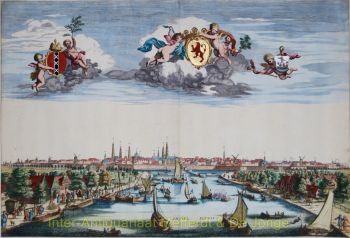
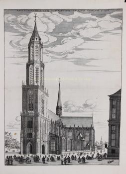
    Johannes Dou, noto anche come Jan Jansz., o Douw (Leida, 7 febbraio 1615 - 5 marzo 1682) era un geometra che lavorava principalmente per il Rijnland Water Board.

    Johannes Dou nacque a Leida nel 1615 (secondo suo padre il 7 febbraio) come figlio di Jan Pieterszoon Dou e Josina Sadelaer. L'8 marzo 1634 Johannes fu iscritto all'Università di Leida come studente di matematica.

    Ha frequentato lezioni con Frans van Schoten sr., professore di "Duytsche mathematicque", la formazione per ingegneri, costruttori di fortezze e geometri. Suo padre era un importante geometra con una grande produzione, che ha anche pubblicato diversi libri sul suo campo.

    Probabilmente ha insegnato a suo figlio ciò di cui aveva bisogno in pratica. In ogni caso, il 10 settembre 1635, Johannes fu ammesso dalla Corte d'Olanda ad esercitare la professione di agrimensore. Nel 1637 fu nominato notaio.

    Dopo la morte di suo padre nel 1635, Dou fu nominato insieme a Steven van Broeckhuizen geometra del Rijnland e dal 1637 appare anche come notaio a Leida. Come suo padre, era estremamente produttivo, ma non raggiunse mai la sua statura scientifica.

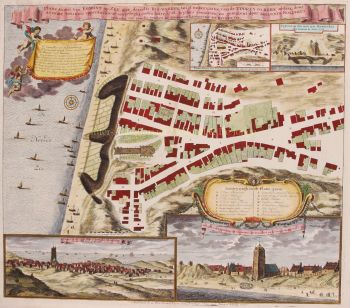
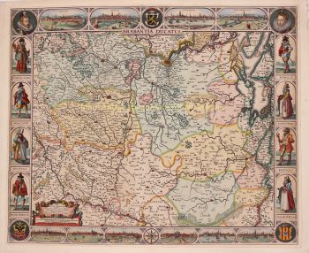
    Oltre a tante piccole commissioni, si distinse anche con alcune opere di maggior gusto. Ad esempio, nel 1661 progettò il canale da Leiden a Utrecht, fu schierato nel 1672 durante la campagna contro i francesi e nel 1675 completò la sua grande mappa dell'Uitwaterende Sluizen.

Sei interessato ad acquistare questa opera d'arte?

Artwork details