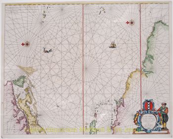
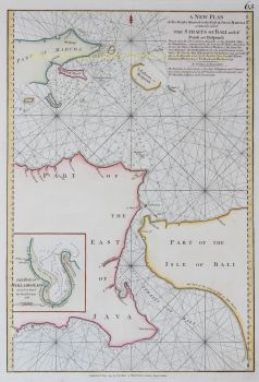
Indonesië, Straat van Banca 1796
Laurie and Whittle
€ 975
Inter-Antiquariaat Mefferdt & De Jonge
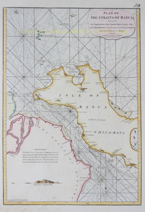
- Over kunstwerkPlan of the Straits of Banca Copper engraving from "The East-India Pilot, or Oriental Navigator" published in London by Robert Laurie and James Whittle in 1796. Coloured by a later hand. Size: approx. 47,5 x 33,0 cm. Nautical chart of the Isle of Banca and part of Sumatra "surveyed by Captain Lloyd of the General Elliot Country Ship, and Mr. Bampton in his passage from China to Batavia, and from Batavia to Malacca." The map offers rich detail including countless depth soundings, notes on the sea floor, commentary on reefs and shoals (e.g. "a dangerous shoal omitted in almost all the charts"), rhumb lines, place names and a wealth of other practical information for the mariner. Cartographically it was derived from surveys by Captain Joseph Huddart, John Price, and a Mr McDonald. Price: Euro975,- (excl. VAT/BTW)
Bent u geïnteresseerd om dit kunstwerk te kopen?
Artwork details
Categorie
Related artworks
Onbekende Kunstenaar
A large wall map of Asia by Nicolas de Fer 1647 - 1720
Prijs op aanvraagZebregs & Röell - Fine Art - Antiques
1 - 4 / 24- 1 - 4 / 12

