Amstelland  by Covens and Mortier
Scroll to zoom, click for slideshow

Amstelland 1749

Covens and Mortier

Imprimir
52 ⨯ 64 cm
€ 1.950

Inter-Antiquariaat Mefferdt & De Jonge

  • Sobre arte
    Carte Particuliere d'Amstelland ou les Environs d'Amsterdam, Muyden, Weesp, Naarden &c. / PARTICULIERE KAART VAN AMSTELLANDT of het omleggende van Amsterdam, Muyden, Weesp, Naarden &c. [special map of the Amstelland area, or the surroundings of Amsterdam, Muiden, Weesp, Naarden, etc.) Copper engraving published in 1749 by Johannes Covens and Cornelis Mortier in Amsterdam. Coloured by a later hand. Size: 52 x 64,5 cm. This map shows the area south of Amsterdam where peat extraction has been taking place since about 1530. The increasing population and shrinking forest area had created a growing demand for peat as fuel. Entire villages perished from starvation for fuel. (See the "Geweeze Dorp Tamen -former village Tamen- north of Uithoorn.) The peat was dredged from below the water level and dried and processed on the narrow so called legakkers. The puddles created by peat (indicated on the map by with a frayed edge) are clearly visible at the bottom left of the map. Bijlmermeer, Naardermeer, Horstermeer and Haarlemmermeer (with smooth banks) on the other hand, were originally natural lakes in the peat area. Of all these ponds and lakes, only the Naardermeer is still a wetland. Literature: Donkersloot-De Vrij "De Vechtstreek" (1985), pp 110-111 Heinemeijer/Wagenaar "Amsterdam in kaarten" (1987), pp 98-101. Price: Euro 1.950,- (incl. frame)  
  • Sobre artista

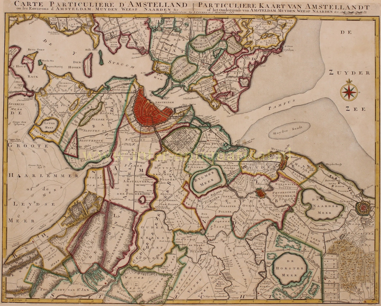
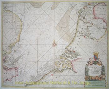
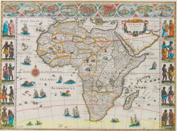
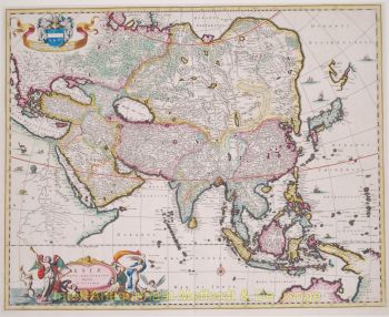
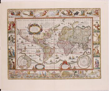
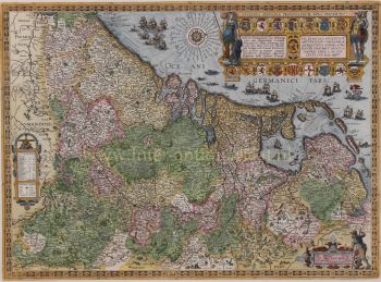
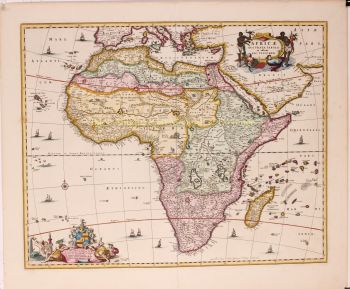
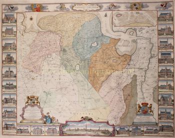
    Covens and Mortier (1721 - c. 1862) foi uma editora de Amsterdã, sucessora do extenso império editorial construído por Pierre Mortier (1661 - 1711).

    O mapa de Covens e Mortier é frequentemente criticado como derivado - mas este não é totalmente o caso. Pierre Mortier viveu em Paris de 1681 a 1685. Lá ele estabeleceu relações estreitas com os maiores cartógrafos franceses da época, incluindo De L'Isle e D'Anville.

    Seu modelo de negócios foi baseado em alavancar a tecnologia de impressão holandesa e sofisticação para co-publicar cartografia francesa de última geração. Após a morte de Mortier em 1711, sua empresa foi assumida por seu filho, Cornelius Mortier (1699 - 1783). Cornelius casou-se com a irmã de Johannes Covens (1697 - 1774) em 1721 e, em parceria com seu cunhado, fundou a firma Covens and Mortier.

    Sob a marca Covens and Mortier, Cornelius e Johannes continuaram no modelo de Pierre de publicar as obras francesas mais atualizadas com permissão. Eles rapidamente se tornaram uma das maiores e mais prolíficas editoras holandesas do século XVIII.

    A empresa e seus sucessores publicaram milhares de mapas ao longo de um período de 120 anos, de 1721 a meados do século XIX. Durante sua longa vida, a firma Covens and Mortier publicou como Covens and Mortier (1721 - 1778), J. Covens and Son (1778 - 94) e Mortier, Covens and Son (1794 - c. 1862).

Você está interessado em comprar esta obra de arte?

Artwork details

Categoria
Assuntos]
Material e Técnica