Caribbean, Windward Islands  by Joachim Ottens
Scroll to zoom, click for slideshow

Caribe, Ilhas de Barlavento 1719 - 1723

Joachim Ottens

€ 975

Inter-Antiquariaat Mefferdt & De Jonge

  • Sobre arte
    DETAILED MAP OF THE WINDWARD ISLANDS “Tabula novissima atque accuratissima Caraibicarum insularum sive Cannibalum : quae etiam Antillae Gallicae dicuntur, item insulae Supraventum, et in Archipelago Mexicano sitae sunt, ac detectae a Christ. Columbo Ao. MCCCCLXXXXIII” [Latest and most accurate map of the Caribbean or Cannibal Islands: also called the French Antilles, or Windward Islands, located in the Archipelago of Mexico, which were discovered by Christopher Columbus in the year 1493.] Copper engraving “after the observations of skilful sailors” made by Reinier Ottens and printed by the Window of Joachim Ottens  in Amsterdam 1719-1723. With original hand colouring. Size: 58 x 48 cm. Detailed map of the Windward Islands from Guadeloupe south to Grenada, including the small islands of Mustique (Grenadines) and Ronde Island (Grenada), with a large inset map of Martinique. Grenada has been moved north and is shown west of Carriacou island, in order that it fits on the sheet. Apart from topographical information, there are some notes of historic interest. According to the map tens of thousands live on Martinique (“Matanino as the locals call it and occupied by the French since July 1635”) and its tobacco is of the best quality. La Désiderade island was discovered by Christopher Columbus in 1493 on his second journey to America. “The island of Guadeloupe, called Carukeira [The Island of Beautiful Waters] by the locals, is very fertile with rice, maize, potatoes, ginger and sugar of different qualities. It is crowded with all types of parrots.” The island of Barbados has been occupied by the English in 1627. “St. Vincent, where the Caribs live, is most populated.” Price: Euro 975,-  
  • Sobre artista

    Joachim Ottens (1663 - 1719) e seus filhos Renier (1698 - 1750) e Joshua (? - 1765) foram excelentes livreiros e editores de mapas holandeses.

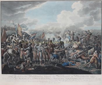
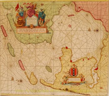
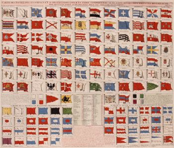
    O período de 1630 a 1700 foi a "idade de ouro" da cartografia holandesa. Os mapas eram percebidos como obras de arte, o trabalho manual era muito valorizado, a gravura estava no mais alto nível, mas do ponto de vista da precisão geográfica, os mapas dos mestres holandeses eram inferiores aos mapas produzidos na Alemanha, França e outros países europeus .

    Joachim, o fundador da empresa Ottens, nasceu em Amsterdã e inicialmente trabalhou como gravador de cobre. Em 1711 ele fundou sua própria empresa dedicada ao negócio de publicação e impressão, vendendo livros, mapas, cartões postais e ilustrando-os.

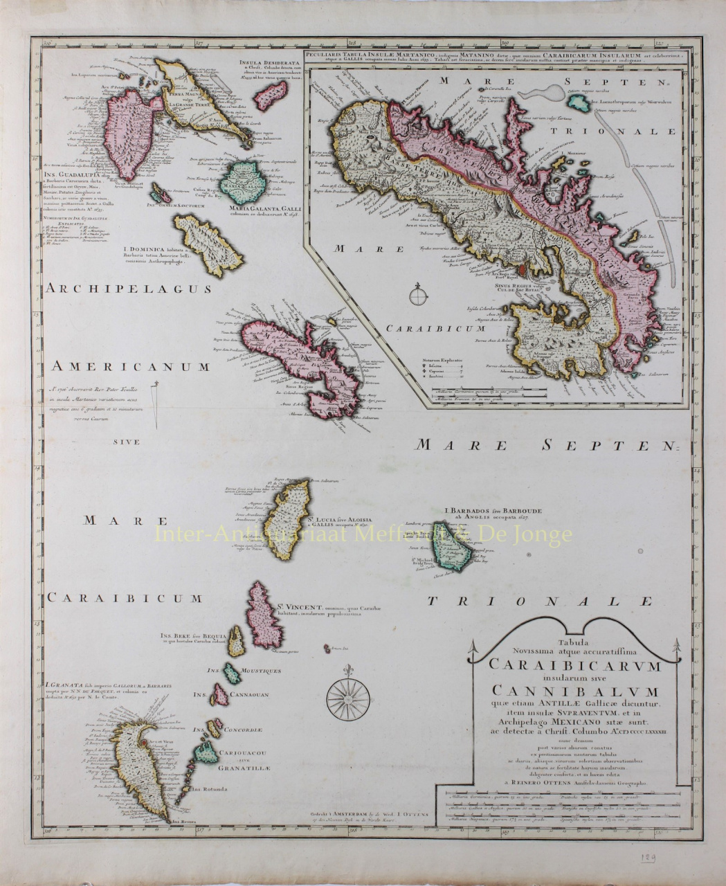
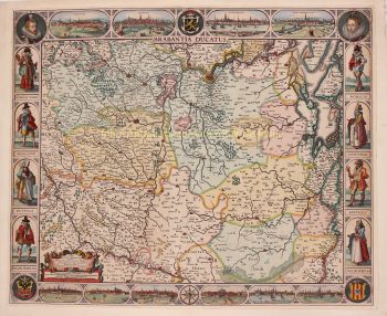
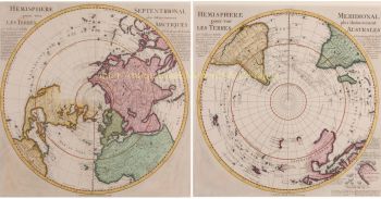
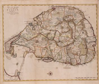
    Embora Joachim tenha morrido alguns anos depois, seus filhos, Renier e Joshua, continuaram com sucesso os negócios de seu pai. A contribuição mais significativa para a cartografia da família Ottens foram os enormes atlas de vários volumes que eles faziam sob encomenda, como o Atlas Major. Algumas edições do Atlas são compostas por mais de 800 mapas emitidos separadamente.

Você está interessado em comprar esta obra de arte?

Artwork details