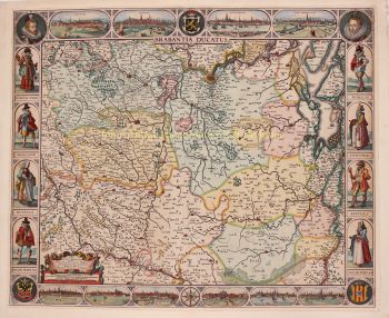
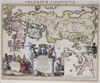
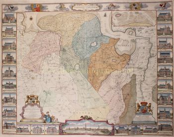
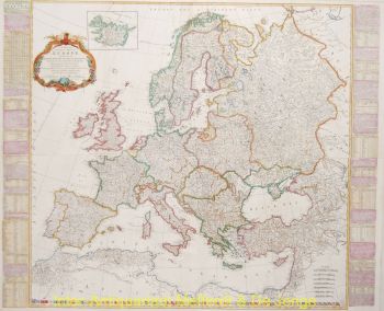
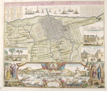
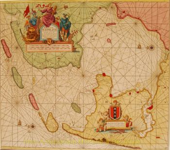
Matthias Shutter nasceu em 1678 na Alemanha. Ele foi um dos mais importantes e prolíficos editores de mapas alemães do século XVIII. Seutter começou sua carreira como aprendiz de cervejeiro. Aparentemente pouco inspirado pelo negócio da cerveja, Seutter deixou seu aprendizado e mudou-se para Nuremberg, onde se tornou aprendiz de gravador sob a tutela do proeminente J. B. Homann. Em algum momento do início do século 18, Seutter deixou Homann para estabelecer sua própria editora cartográfica independente em Augsburg. Embora ele tenha lutado nos primeiros anos de sua independência, a habilidade de gravura de Seutter e o compromisso com a produção diversificada de mapas acabaram conquistando um número considerável de seguidores. A maioria dos mapas de Seutter foram fortemente baseados, senão cópias de, trabalhos anteriores feitos pelas empresas Homann e Delisle. Em 1732, Seutter era um dos editores mais prolíficos de seu tempo e foi homenageado pelo imperador alemão Carlos VI com o título de “Geógrafo Imperial”. Seutter continuou a publicar até sua morte, no auge de sua carreira, em 1757. A empresa Seutter continuou sob o filho perdulário de Seutter, Albrecht Carl, até sua morte em 1762. Após a morte de Albrecht, a empresa foi dividida entre a firma Probst estabelecida e as emergentes firma de Tobias Conrad Lotter. Lotter, genro de Matthäus Seutter, era um gravador mestre e trabalhava em nome da empresa Seutter. Seutter morreu em 1757.