Name: Petrus Kaerius / Pieter van den Keere / Pieter van der Keere
Pieter van den Keere was born in Ghent in 1571, but moved to London in 1584 because of the Spanish occupation with his sister Coletta. In 1587 she married the cartographer Jodocus Hondius, who became Pieter's tutor as a publisher and engraver.
Van den Keere left London in 1593 to settle in Amsterdam, where he initially worked as an engraver for Hondius and later became an independent publisher.
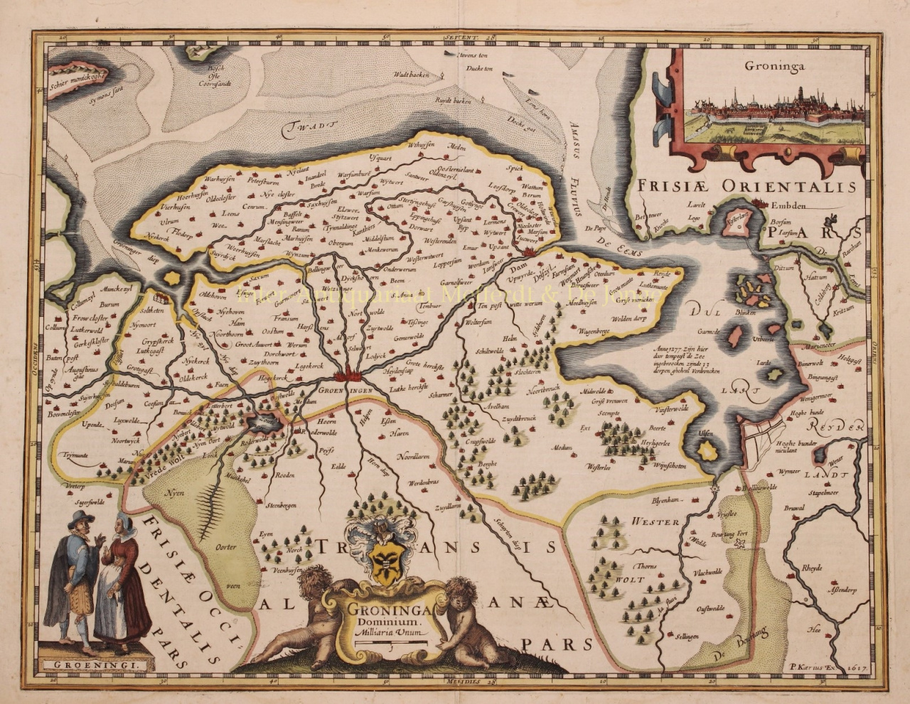
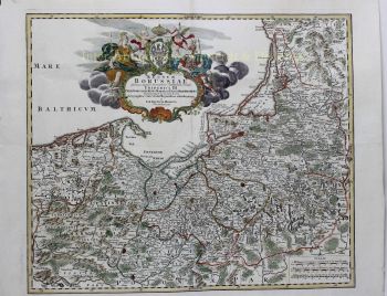
In 1595 he published a large 10-page wall map of Europe, the Nova Totius Europae Descriptio. Petrus Kaerius' best-known work, the Germania Inferior, was first published in 1617.
It was an atlas that focused exclusively on the Netherlands, with an accompanying text by Petrus Montanus. However, times were bad for engravers and in the early 1620s van den Keere ran into financial difficulties. He was eventually forced to sell his copper plates, so that Claes Janszoon Visscher, for example, came into possession of the plates of the Germania Inferior.
From 1623 Kaerius was given the opportunity to contribute to the Atlas Minor by Hondius and between 1633 and 1645 he engraved another twenty atlas maps for Janssonius.
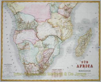
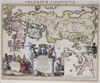
Importance for geography: Kaerius himself published some maps, such as the Great Wall Map of Europe (1595) and a World Map (1607). His most important work was the Germania Inferior (1617). This was the first separate atlas of the Netherlands and was also published shortly afterwards in a French and Latin version. Furthermore, he is mainly known for the numerous engravings he made for third parties.