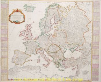
Southeast Asia 1730
Covens and Mortier
€ 950
Inter-Antiquariaat Mefferdt & De Jonge
- About the artworkCarte Des Indes et de la Chine…,copper engraving on two joined sheets of paper, made by Guillaume De l'Isle, published in Amsterdam Johannes Covens and Cornelis Mortier around 1730. Coloured by a later hand. Size: Afm. 61,1 x 62,6 cm. The map was published as part of De L'Isle's "Atlas Nouveau, Contenant Toutes Les Parties Du Monde, Ou sont exactement Remarquées les Empires, Monarchies, Royaumes, Etats, Republiques &c." Fine large map of Southeast Asia. The region had been traveled extensively by Europeans with their trade routes, especially the islands of the Philippines and the East Indies. Japan is connected on the map with the island of Hokkaido ("Terre d 'Yeco ou d'Eso") to the Asian mainland and the Sea of Japan is called "Mer Orientale ou Mer de Coree". Although Korea is far too wide, it is correctly represented as a peninsula. The mythical, but nonexistent, "Lac de Chiamay", the supposed origin of the rivers Irrawaddy, Dharla, Menam, Brahmaputra and Mekong is located in the north of Burma. The map is also full of cities, roads, rivers and topography. Price: Euro 950,-
- About the artist
Covens and Mortier (1721 - c. 1862) was an Amsterdam publishing firm, the successor to the extensive publishing empire built by Pierre Mortier (1661 - 1711).
Covens and Mortier map are often criticized as derivative - but this is not fully the case. Pierre Mortier lived in Paris from 1681 to 1685. There he established close relationships the the greatest French cartographers of the era, including De L'Isle and D'Anville.
His business model was based upon leveraging Dutch printing technology and sophistication to co-publish state of the art French cartography. Upon Mortier's death in 1711 his firm was taken over by his son, Cornelius Mortier (1699 - 1783). Cornelius married the sister of Johannes Covens (1697 - 1774) in 1721 and, partnering with his brother in law, established the Covens and Mortier firm.
Under the Covens and Mortier imprint, Cornelius and Johannes continued in Pierre's model of publishing the most up-to-date French works with permission. They quickly became one of the largest and most prolific Dutch publishing concerns of the 18th century.
The firm and its successors published thousands of maps over a 120 year period from 1721 to the mid-1800s. During their long lifespan the Covens and Mortier firm published as Covens and Mortier (1721 - 1778), J. Covens and Son (1778 - 94) and Mortier, Covens and Son (1794 - c. 1862).
Are you interested in buying this artwork?
Artwork details
Related artworks
- 1 - 4 / 7
- 1 - 4 / 24
- 1 - 4 / 12


