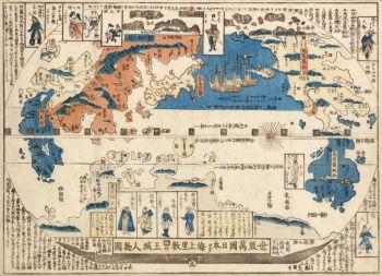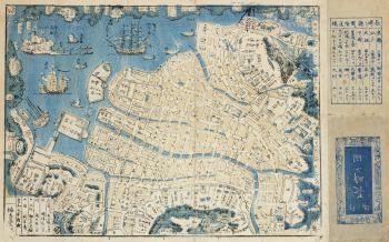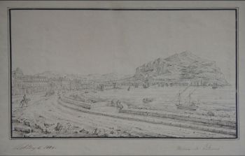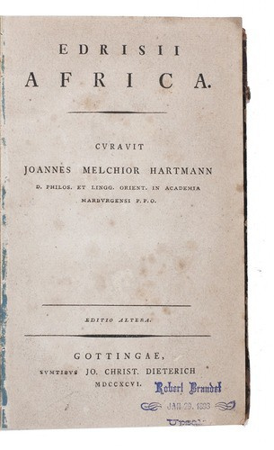
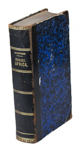


Al-Idrisi's geographical account of northern Africa 1796
Muhammad Idrisi
Actualmente no disponible a través de Gallerease
Related artworks
Tilmanus Nicolaus Maastricht
Missale Romanum con monturas de plata holandesas1788 - 1792
Precio a consultarJacob J. Roosjen SRI
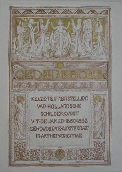
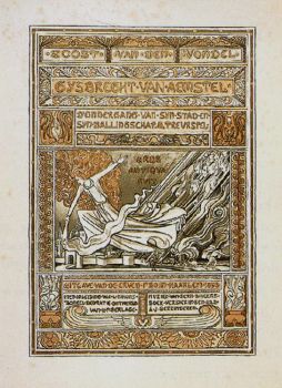
Antonie Derkinderen
Memory book Exhibition of Dutch Painting1892
Precio a consultarKunsthandel Pygmalion
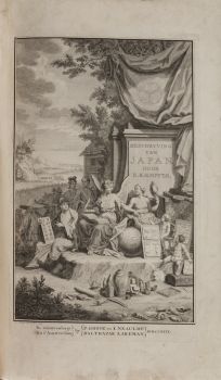
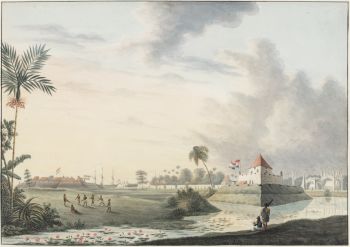
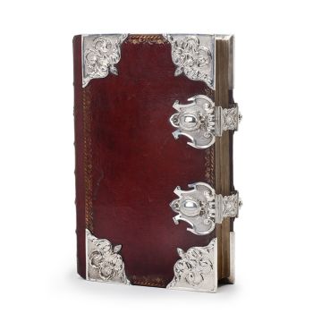
Engelbert Kaempfer
LIBRO DE ENGELBERT KAEMPFER1651 - 1716
Precio a consultarZebregs & Röell - Fine Art - Antiques
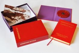
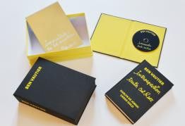
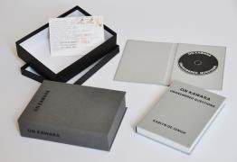
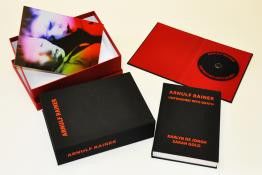
Hermann Nitsch
"UNDER MY SKIN" Signed book incl. small artwork and DVD in a matching box2010 - 2014
Precio a consultarGallerease Selected
Tilmanus Nicolaus Maastricht
Missale Romanum con monturas de plata holandesas1788 - 1792
Precio a consultarJacob J. Roosjen SRI
Engelbert Kaempfer
LIBRO DE ENGELBERT KAEMPFER1651 - 1716
Precio a consultarZebregs & Röell - Fine Art - Antiques
Antonie Derkinderen
Memory book Exhibition of Dutch Painting1892
Precio a consultarKunsthandel Pygmalion
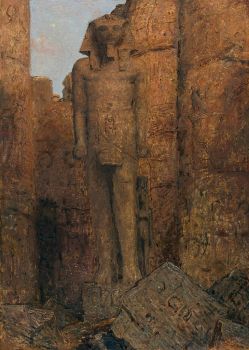
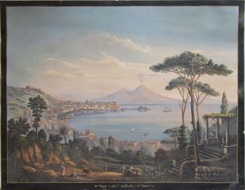
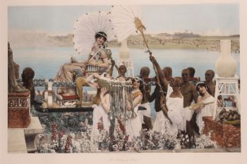
Marius Bauer
The Temple of Ramses II at Karnak Image in Luxor1919
Precio a consultarStudio 2000 Art Gallery

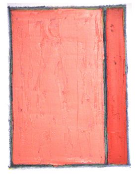
Rene Rietmeyer
TOKYO - Kudan House - January 2021 #022021
Precio a consultarEuropean Cultural Centre Collection
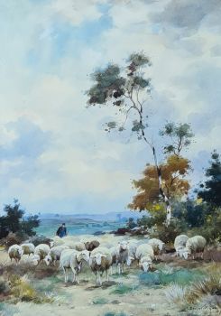
Adrianus Johannes Groenewegen
Schaapsherder met kudde1874 - 1963
Precio a consultarGalerie Het Noorderlicht