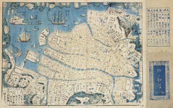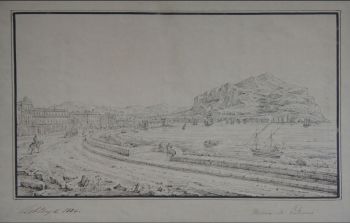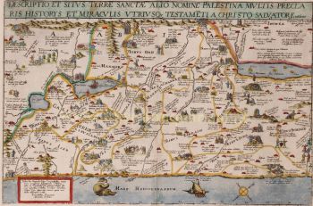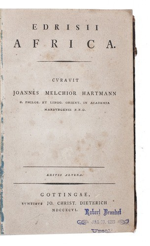


Al-Idrisi's geographical account of northern Africa 1796
Muhammad Idrisi
Attualmente non disponibile tramite Gallerease
Related artworks
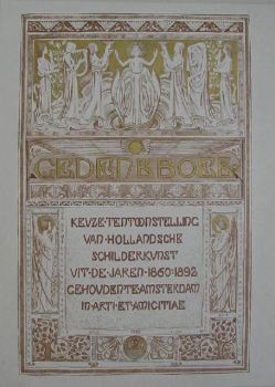
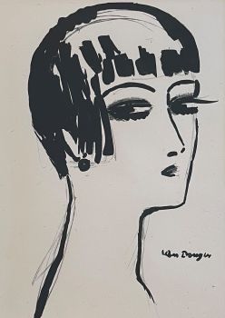
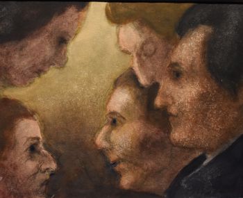
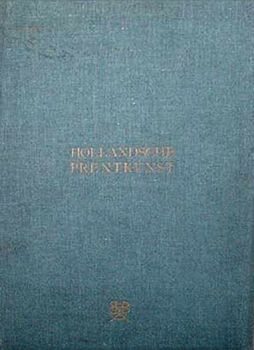
Antonie Derkinderen
Memory book Exhibition of Dutch Painting1892
Prezzo su richiestaKunsthandel Pygmalion
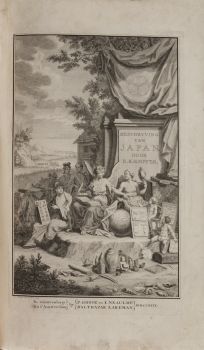
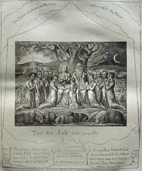
Engelbert Kaempfer
IL LIBRO DI ENGELBERT KAEMPFER1651 - 1716
Prezzo su richiestaZebregs & Röell - Fine Art - Antiques
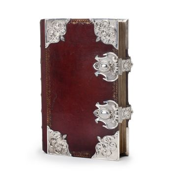
Tilmanus Nicolaus Maastricht
Missale Romanum con fornimenti d'argento olandesi1788 - 1792
Prezzo su richiestaJacob J. Roosjen SRI
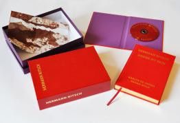
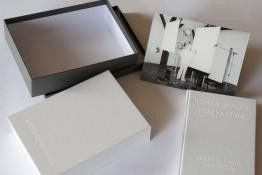
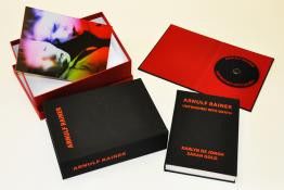
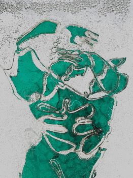
Hermann Nitsch
"UNDER MY SKIN" Signed book incl. small artwork and DVD in a matching box2010 - 2014
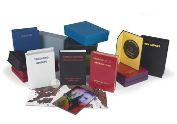
Prezzo su richiestaGallerease Selected
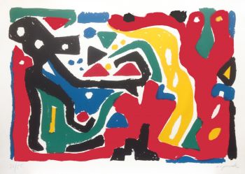
!["SKIMMING THE WATER [MENAGE A QUATRE]" Signed book plus small artwork by LAWRENCE WEINER](https://media-2.gallerease.com/images/442bfd5f-fc31-4e18-a2fa-ee0c08eade64/350x350/skimming-the-water-menage-a-quatre-signed-book-plus-small-artwork.jpg)
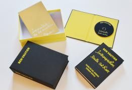
LAWRENCE WEINER
"SKIMMING THE WATER [MENAGE A QUATRE]" Signed book plus small artwork2010 - 2014
Prezzo su richiestaGallerease Selected
Tilmanus Nicolaus Maastricht
Missale Romanum con fornimenti d'argento olandesi1788 - 1792
Prezzo su richiestaJacob J. Roosjen SRI
Antonie Derkinderen
Memory book Exhibition of Dutch Painting1892
Prezzo su richiestaKunsthandel Pygmalion
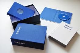
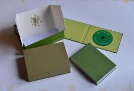
Yoko Ono
YOKO ONO: "ARISING" SIGNED BOOK PLUS SMALL ARTWORK 2010 - 2014
Prezzo su richiestaGallerease Selected
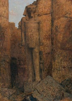
Marius Bauer
The Temple of Ramses II at Karnak Image in Luxor1919
Prezzo su richiestaStudio 2000 Art Gallery
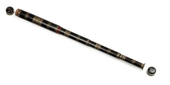
Artista Sconosciuto
UN RARO GRANDE TELESCOPIO GIAPPONESE IN PELLE LACCATA1750 - 1800
Prezzo su richiestaZebregs & Röell - Fine Art - Antiques
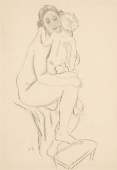
Rene Rietmeyer
"Portrait of Rauschenberg, January 2002"2002
Prezzo su richiestaEuropean Cultural Centre Collection