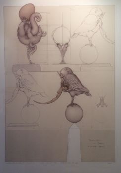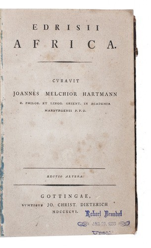
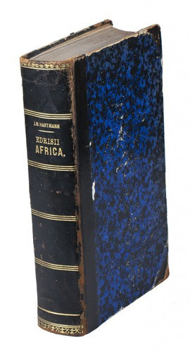


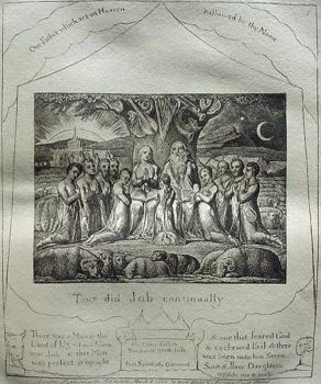
Al-Idrisi's geographical account of northern Africa 1796
Muhammad Idrisi
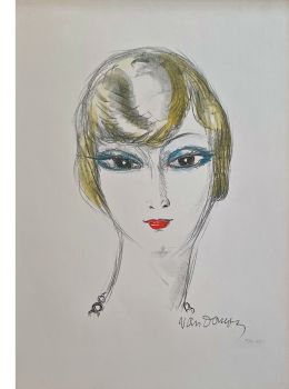
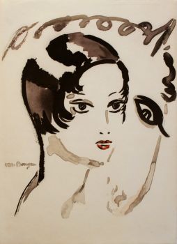
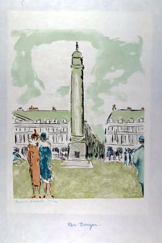
Actuellement indisponible via Gallerease
Related artworks
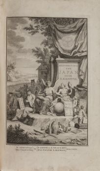
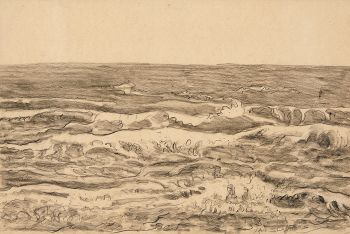
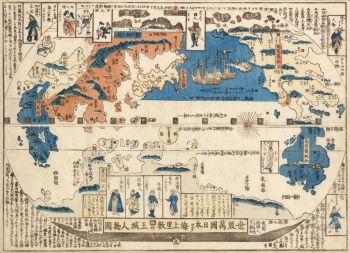
Engelbert Kaempfer
LIVRE ENGELBERT KAEMPFER1651 - 1716
Prix sur demandeZebregs & Röell - Fine Art - Antiques
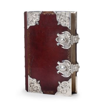
Tilmanus Nicolaus Maastricht
Missale Romanum avec montures en argent hollandais1788 - 1792
Prix sur demandeJacob J. Roosjen SRI
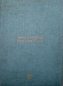
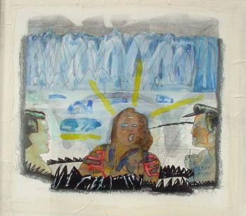
Antonie Derkinderen
Memory book Exhibition of Dutch Painting1892
Prix sur demandeKunsthandel Pygmalion
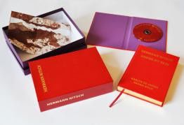
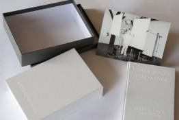
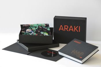
Hermann Nitsch
"UNDER MY SKIN" Signed book incl. small artwork and DVD in a matching box2010 - 2014
Prix sur demandeGallerease Selected
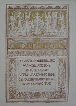
Antonie Derkinderen
Memory book Exhibition of Dutch Painting1892
Prix sur demandeKunsthandel Pygmalion
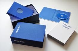
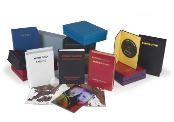
Yoko Ono
YOKO ONO: "ARISING" SIGNED BOOK PLUS SMALL ARTWORK 2010 - 2014
Prix sur demandeGallerease Selected
Engelbert Kaempfer
LIVRE ENGELBERT KAEMPFER1651 - 1716
Prix sur demandeZebregs & Röell - Fine Art - Antiques
Tilmanus Nicolaus Maastricht
Missale Romanum avec montures en argent hollandais1788 - 1792
Prix sur demandeJacob J. Roosjen SRI