Mapa da américa 1570
Abraham Ortelius
€ 4.800
Inter-Antiquariaat Mefferdt & De Jonge
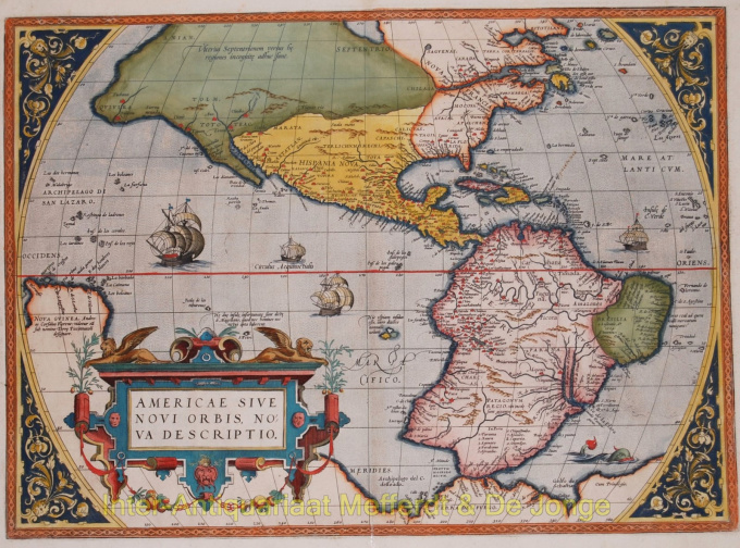
- Sobre arteAmericae Sive Novi Orbis, Nova DescriptioAccording to Burden: "One of the most famous and esily recognised maps of America, and one that is both functional as well as decorative". An important map because of it's influence on the European perceptions of America. When the map was first published by Abraham Ortelius at Antwerp in 1570, it was the best map of the Americas available. It was in fact the first of it's kind to achieve wide circulation through an atlas. Lower California is correctly shown as a peninsula and America is separated from Asia in the northwest. A strategically placed cartouche hides the complete lack of the southern waters of the Pacific. Second state of first plate with Latin text on verso. Coloured by a later hand. Size: 36,6 x 50,7 cm. Lierature: Van den Broecke nr. 9; Burden nr. 39. Price: Euro4.800,- (excl. VAT/BTW)
- Sobre artista
Abraham Ortelius nasceu na Antuérpia em 1527. Ele foi um famoso cartógrafo e geógrafo do sul da Holanda. Ortelius foi o fundador do Atlas moderno e pode ser visto como um dos grandes geógrafos de sua época. A família de Ortelius é originária da cidade alemã de Augsburg. Em 1547, Ortelius atuou como coloridor de mapas na guilda de Saint-Lucas em Antuérpia. Ele viveu brevemente na Inglaterra e Liege após 1576 por razões políticas. Depois disso, ele voltou para Antuérpia, onde viveu até morrer em 1598
Você está interessado em comprar esta obra de arte?
Artwork details
Categoria
Related artworks
- 1 - 4 / 6
Artista Desconhecido
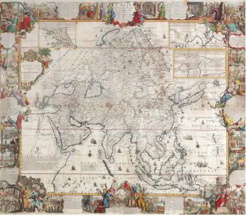
A large wall map of Asia by Nicolas de Fer 1647 - 1720
Preço em pedidoZebregs & Röell - Fine Art - Antiques
1 - 4 / 24- 1 - 4 / 12

