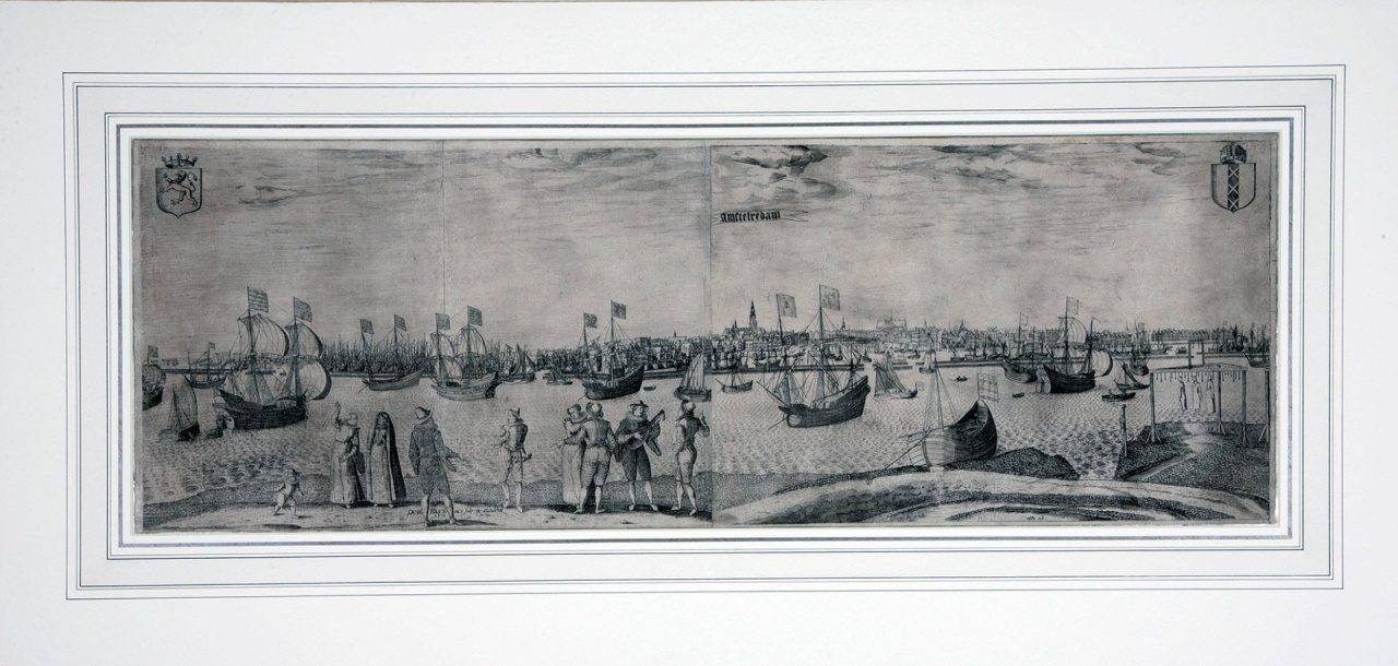
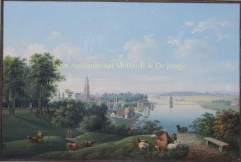
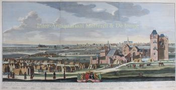
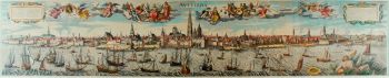
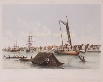
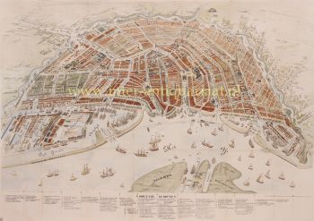
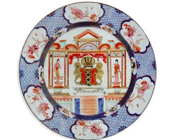
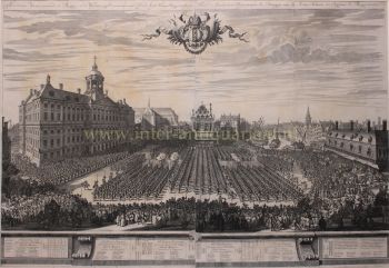
Bast nasceu na Antuérpia e era filha de Josyntje Plantin, que fazia parte da famosa família de impressores Plantin. Em 31 de agosto de 1601 ele se casou com Aryaentje Geryt Schaecken em Leiden. No ano seguinte comprou uma casa ao lado da Escola de Latim. Carreira Pieter Bast gravou mapas e paisagens urbanas de cidades holandesas. Ele trabalhou em um mapa de Emden. Ele também trabalhou como agrimensor. O mais famoso de seus trabalhos foi o mapa de Amsterdã que ele desenhou e gravou em 1599. Ele cobria um total de quatro lâminas e é intitulado Amstelodamum, Hollandiae urbs primaria, empório Totius Europae celeberrimum. Desde 1544, não havia um mapa preciso da cidade de Amsterdã, portanto, este trabalho tem um significado histórico. O mapa foi publicado em 1º de outubro de 1599 pela livraria e editora Harmen Allartz ou Alardi. O cartão foi assinado Petr. Bast Au (isto é, auctor) et sculp (sit) et excudebat, 1599, o que indica que Pieter Bast também foi editor. Mais tarde na carreira, Pieter Bast fez outras gravuras de Middelburg, Dordrecht, Leeuwarden, Franeker, Leiden e Utrecht. Ele também fez gravuras de eventos históricos, como o cerco e a captura de Nijmegen como parte da Revolta Holandesa por Maurício, Príncipe de Orange, em 14 de outubro de 1591, a Batalha de Nieuwpoort. Outros artistas com quem colaborou incluem Floris Balthasar e Johan Sems. Ele foi enterrado na Igreja de São Pedro em Leiden.