The founder of the house, Claes Janszoon Visscher from Amsterdam, was not only a talented draftsman, engraver and etcher, but also one of the most important publishers of the 17th century.
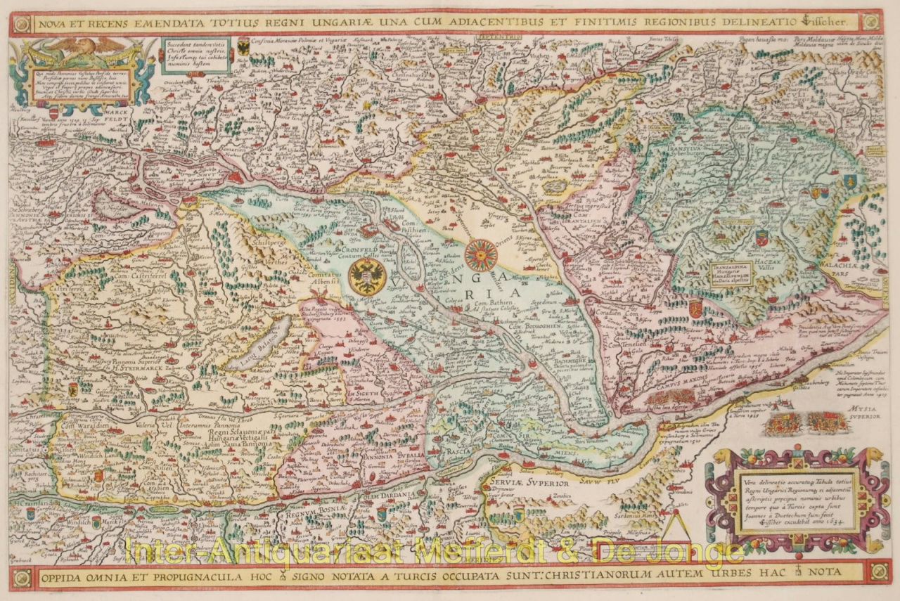
The events of the Eighty Years' War (1568-1648) provided a plethora of subjects for new maps and prints. Depictions of sieges, battles, the military situation, the location of the forts, redoubts and lines formed the news of that time. Both the news in Europe and that about the activities of the Dutch in Asia and America were central to the prints. The Visscher house would continue to specialize in publishing war maps in the future.
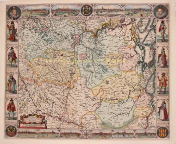
Dating the cards is quite difficult. The news cards were of course usually provided with a year. An example was the "Leo Belgicus", on which Klaas in 1609, at the start of the Twelve Years' Truce, represented all seventeen provinces as a lion. The sleeping god of war Mars symbolizes the resting of the weapons.
The printer's mark of Claes Jansz. Visscher is quite recognizable. His son's and grandson's cards are more troublesome. The date is only mentioned sporadically and the names: Nicolaas, Nicolaes, Nicolai, Nicolaum &c. are also not really distinctive. Only the addition: Cum Privilegium etc. can indicate a first production date (from 1677).