A large wall map of Asia by Nicolas de Fer  by Unknown artist
Scroll to zoom, click for slideshow

A large wall map of Asia by Nicolas de Fer 1647 - 1720

Unknown artist

Paper
92 ⨯ 117 cm
Price on request

Zebregs & Röell - Fine Art - Antiques

  • About the artwork
    A large wall map of Asia by Nicolas de Fer (1647-1720)

    L’Asie divisée selon letendu de ses principales parties, et dont les points principaux sont placez sur les observation des Monsieurs de l’Academie Royale des Sciences. Dressée par N. De Fer, Geographe de monsieur de Dauphin. A Paris chez l’auteur dans l’Isle du Palais, fur le Quay de l’Horloge, à la Sphere Royal. Avec le Privilege du Roy, 1696

    Engraved by Hendrik van Loon after a design by Nicolas de Fer, printed on four copperplates, and published by Guillaume Danet, Paris 1724, with later hand- colouring.

    H. 92.5 x W. 117 cm
    H. 112.5 x W. 139 cm (including frame)

    ​The map is surrounded by richly decorated borders, depicting the peoples of Asia, the Chinese, Japanese, Turks, Indians, Tartars (Russians), Filipinos, inhabitants of the Maluku and Sunda islands, Sri Lankans, people of Colgonda, Malaysia, Thailand, Cochin and Tonkin. Some detail maps show

    Arctic areas, with Spitsbergen, Nova Zembla and the northeast of China based on the writings of the Jesuits Martino Martini and Ferdinand Verbiest. Nicolas de Fer started his apprenticeship at the age of twelve in the map-making business of his father, Antoine de Fer (act. 1644-1672). After his father’s death his mother continued the business and after her retirement, Nicolas took over in 1687. He turned it into a flourishing business and thanks to his contacts with the Académie Royale des Sciences in Paris he was
    able to use the latest discoveries in geography and subscribe his maps with ‘Dressée sur les nouvelle observations des Messieurs de l’Académie Royale des Sciences.’ In 1690 he became the official cartographer of the Dauphin and later King of France and Spain. He published more than six hundred maps and many atlases, documenting French fortified towns, strongholds and the explorations and discoveries of new territories. Unlike most Dutch cartographers who mainly made maps for navigational purposes, Nicolas de Fer, in the French decorative style of cartography, made a total of 26 large wall maps to adorn the walls in the palaces and castles of the French royals and aristocracy.
  • About the artist

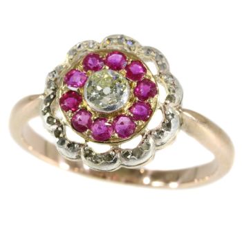
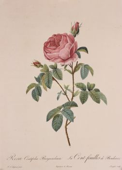
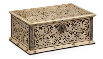
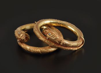
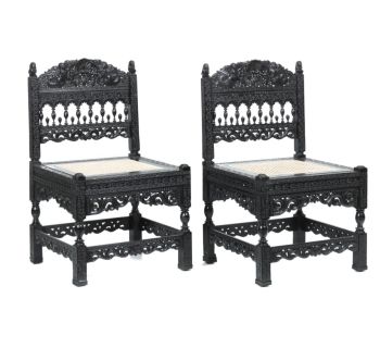
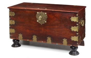
    It might happen that an artist or maker is unknown.

    Some works are not to be determined by whom it is made or it is made by (a group of) craftsmen. Examples are statues from the Ancient Time, furniture, mirroirs, or signatures that are not clear or readible but as well some works are not signed at all.

    As well you can find the following description:

    •“Attributed to ….” In their opinion probably a work by the artist, at least in part

    •“Studio of ….” or “Workshop of” In their opinion a work executed in the studio or workshop of the artist, possibly under his supervision

    •“Circle of ….” In their opinion a work of the period of the artist showing his influence, closely associated with the artist but not necessarily his pupil

    •“Style of ….” or “Follower of ….” In their opinion a work executed in the artist’s style but not necessarily by a pupil; may be contemporary or nearly contemporary

    •“Manner of ….” In their opinion a work in the style of the artist but of a later date

    •“After ….” In their opinion a copy (of any date) of a work of the artist

    •“Signed…”, “Dated….” or “Inscribed” In their opinion the work has been signed/dated/inscribed by the artist. The addition of a question mark indicates an element of doubt

    •"With signature ….”, “With date ….”, “With inscription….” or “Bears signature/date/inscription” in their opinion the signature/ date/ inscription has been added by someone other than the artist

Are you interested in buying this artwork?

Artwork details

Category
Subject
Material & Technique