North- and South Pole  by Pieter Mortier
Scroll to zoom, click for slideshow

North- and South Pole 1696

Pieter Mortier

PapelImprimir
43 ⨯ 52 cm
€ 4.950

Inter-Antiquariaat Mefferdt & De Jonge

  • Sobre arte
    POLAR PROJECTION MAP ON TWO HEMISPHERES “Les Deux Poles Arctique ou Septentrional, et Antarctique ou Meridional, ou Description des Terres Arctiques et Antarctiques ; et des Pays circomvoisins jusques aux 45. Degres de Latitude.” (The two poles – Arctic on the northern hemisphere, and Antarctic on the southern, as well as the description of the Arctic and Antartic earth and the surrounding lands up until 45 degrees latitude.) Copper engraving published by Pieter Mortier in Amsterdam after the design by Nicolas Sanson. The map was included in Pieter Mortier's Atlas Nouveau in 1696. With original hand colouring. Size: approx. 43 x 52 cm. This is a beautiful example of Pieter Mortier's double-hemisphere map of the north and south poles. The primary hemispheres focus on the northern and southern thirds of the world. The secondary hemispheres show the entire world, centered respectively on Paris and its antipodes. The geographical content of the primary hemispheres is drawn from the 1657 map of French cartographer Nicolas Sanson (whose title is shared by the present work.) These do not constitute a world map per se. The polar projections end at 45º south and north respectively. The southern polar projection on the right is dominated by a massive southern continent, marked “Terre Magellanique Australe et Incogneue” (the southern and unknown land of Magellanica.) The northern hemisphere shows Europe north of central France and the Black Sea, Asia north of the Caspian Sea and Turkestan, and Spitzbergen and Nova Zemla are shown as partial coastlines. North America shows the Great Lakes in their unfinished form. The northern part of North America is shown including the Saint Lawrence River, Newfoundland, and the Canadian Maritimes. Hudson's Bay, Button's Bay, Baffin's Bay, and the Davis Strait are all shown, with numerous openings in the coastline suggesting the possibility of a Northwest Passage. Greenland is shown as a landmass contiguous with North America, and nearly connecting with Spitzbergen. Additionally, the North American landmass reaches westward to include the speculative “Terre de Yezo, ou Iesso”, which contemporaneous cartographers presented as beginning as the island of Hokkaido. The decorative elements - up to and including the framing of the secondary hemispheres, and the cartouche banner - are copied from Nicolas Visscher’s world map of 1658. Visscher's artist - the Dutch painter Nicolaes Berchem - created nuanced, layered allegorical scenes representing each of the four elements in the map's four corners. The scene for 'Air' in the upper right corner shows Zeus and Hera in a chariot pulled by eagles, with putti flying in attendance. For 'Earth', in a woodland scene at the bottom right, Demeter gifts a hungry mankind the fruits of the Earth, in an overflowing cornucopia. The scene representing 'Fire' in the upper left corner takes place in the underworld, showing the abduction of Persephone by Hades. In the aquatic scene in the lower left, Poseidon woos Aphrodite in a hippocampus-drawn chariot, with mermen bugling wetly from conches and playing tambourines. The top ancillary hemisphere is flanked by angelic figures, while the bottom is flanked by a mermaid (facing the water scene) and a satyr facing the Earth vignette. The cruxes of the four hemispheres are each peopled with a trio of putti. Price: Euro 4.950,-  
  • Sobre artista

    O primeiro Pieter Mortier (Leiden, 1661 – Amsterdam, 1711) era filho de um refugiado político da França e tornou-se cartógrafo e gravador. Ele viajou para Paris em 1681-1685, depois voltou para Amsterdã, onde operou como livreiro de 1685 até 1711.

    Ele ganhou o privilégio em 1690 de publicar mapas e atlas de editores franceses em Amsterdã para o mercado holandês. Ele usou esse privilégio para ganhar um conjunto semelhante de privilégios para imprimir uma "bíblia impressa ilustrada" em 1700. Também conhecida como "Bíblia de Mortier" (holandês: Mortierbijbel ou Prentbijbel Mortier), o nome oficial deste livro era Historie des Ouden en Nieuwen Testamentos, verrykt met meer dan vierhonderd printverbeeldingen in koper gesneeden ("História do Antigo e do Novo Testamento: enriquecida com mais de quatrocentas ilustrações impressas cortadas em cobre").

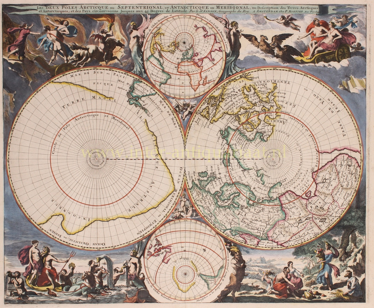
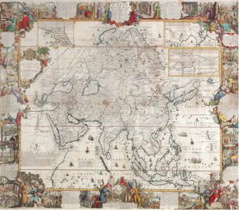
    Em Amsterdã, ele se localizou em Middeldam, 1685–1686, e depois em Vijgendam, 1686–1711. Sua placa era "Stad van Parijs" entre 1685 e 1700. Ele era conhecido por ter usado um endereço de publicação fictício em Antuérpia e também em Londres. O Short Title Catalog Netherlands atribui a publicação de 261 títulos a Pieter Mortier I.

    Durante a primeira década do século XVIII, Mortier desafiou o huguenote Estienne Roger pelo domínio do mercado de partituras polifônicas, implementando uma guerra de preços.

    Ele se casou com Amelia 's-Gravensande (1666–1719), que, como viúva, administrou seu negócio editorial até sua morte. O casal teve dois filhos, Pieter Mortier II (veja abaixo) e Cornelis Mortier (1699–1783), que em parceria com Johannes Covens I (1697–1774) iniciou a editora de mapas Covens & Mortier (1721–1866) que se tornou a maior editora cartográfica do século XVIII.

Você está interessado em comprar esta obra de arte?

Artwork details