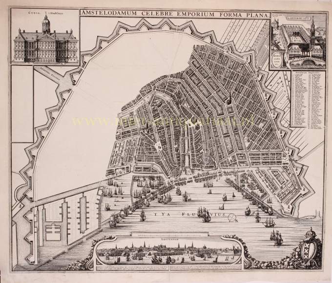
Amsterdam - Joan Blaeu(?), 1661 1661
Joan Blaeu
Inter-Antiquariaat Mefferdt & De Jonge
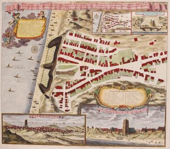
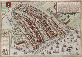
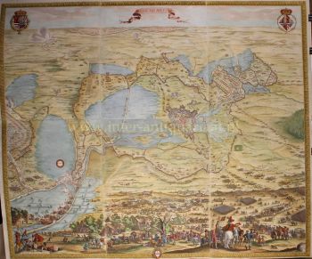
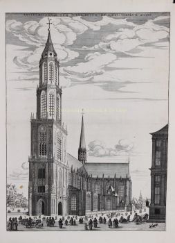
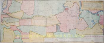
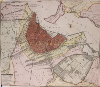
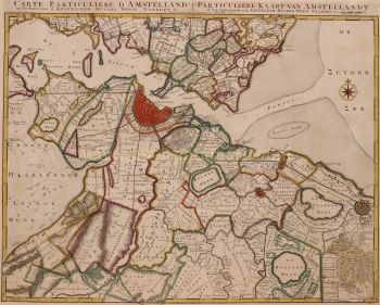
- About the artworkPLANNEN VOOR DE VIERDE UITLEG VAN AMSTERDAM “Amstelodamum Celebre Emporium Forma Plana” Kopergravure van Amsterdam vervaardigd door Claes Jansz. Visscher of Joan Blaeu in 1661. Afm. 48,5 x 57,5 cm. Het is aannemelijk dat het stadsbestuur opdrachtgever was voor het vervaardigen van de koperplaat en de kaart. Het gebied van de Vierde Uitleg was nog niet gegraveerd, zeer waarschijnlijk omdat de definitieve invulling nog niet was vastgesteld. In feite is het een werkkaart waarmee voor het gebied van de Vierde Uitleg verschillende gebiedsindelingen en andere uit te voeren plannen door handgetekende annotaties gevisualiseerd konden worden. Er zijn ook een aantal afdrukken bewaard gebleven (in het Amsterdamse Stadsarchief) die als werkkaart zijn gebruikt. Het ontwerp van de kaart met de gebouwen in de bovenhoeken en een stadsprofiel aan de onderzijde grijpt terug op een kaart van Claes Jansz. Visscher (het beursgebouw rechts is een verkleinde weergave van een andere voorstelling die Visscher had gemaakt). De inhoud van het kaartbeeld van de binnenstad is ontleend aan en kaart van Johannes Janssonius die op zijn beurt plattegronden van Joan Blaeu als voorbeeld had gebruikt. Het is mogelijk dat Joan Blaeu de uitgever van dit exemplaar is geweest. Blaeu was immers lid van de vroedschap van Amsterdam en maakte deel uit van een commissie van zeven heren die moest adviseren over de uitbreidingen van de stad. Het is voorstelbaar dat de commissieleden op enig moment de behoefte hadden aan een kaart met nog blanco Vierde Uitleg die ze vervolgens zelf konden annoteren. Door zijn genoemde functies onderhield Joan Blaeu directe relaties met vele andere Amsterdamse politici, waardoor hij de opdracht tot vervaardiging mogelijkerwijs makkelijker kon verkrijgen dan andere kaartmakers. Het kaartbeeld werd nooit voltooid. Wellicht dat het stadsbestuur het voornemen had, om, zodra de Vierde Uitleg zijn definitieve vorm gekregen had, een finale versie te drukken. Vermoedelijk was het de bedoeling om daarbij ook de in de nieuwe uitleg nummers te plaatsen. Die zouden dan verklaard worden in de het lege kader ter linkerzijde. Omdat er echter, in en kort na 1662 meerdere commerciële uitgevers (zoals Nicolaes Visscher en de familie Danckerts) in dit gat in de markt sprongen, werd een stedelijke uitgave van de nog te actualiseren plaat overbodig. De kaart bleef wat het was: een onvoltooide uitgave. Literatuur: Marc Hameleers “Kaarten van Amsterdam 1538-1865”, nr. 40. Prijs: Euro 2.750,-
- About the artist
Joan Blaeu (1596-1673), was born on the 23rd of September in 1596 in Alkmaar.
He was a Dutch cartographer born in Alkmaar. He followed the footsteps of his father, cartographer Willem Blaeu.
In 1620 he became a doctor of law but he joined the work of his father. In 1635 they published the Atlas Novus (full title: Theatrum orbis terrarum, sive, Atlas novus) in two volumes. Joan and his brother Cornelius took over the studio after their father died in 1638. Joan became the official cartographer of the Dutch East India Company.
Blaeu's world map, Nova et Accuratissima Terrarum Orbis Tabula, incorporating the discoveries of Abel Tasman, was published in 1648. This map was revolutionary in that it "depicts the solar system according to the heliocentric theories of Nicolaus Copernicus, which show the earth revolving around the sun.... Although Copernicus's groundbreaking book On the Revolutions of the Spheres had been first printed in 1543, just over a century earlier, Blaeu was the first mapmaker to incorporate this revolutionary heliocentric theory into a map of the world."
Blaeu's map was copied for the map of the world set into the pavement of the Groote Burger-Zaal of the new Amsterdam Town Hall, designed by the Dutch architect Jacob van Campen (now the Amsterdam Royal Palace), in 1655.
Blaeu's Hollandia Nova was also depicted in his Archipelagus Orientalis sive Asiaticus published in 1659 in the Kurfürsten Atlas (Atlas of the Great Elector). and used by Melchisédech Thévenot to produce his map, Hollandia Nova—Terre Australe (1664).
As "Jean Blaeu", he also published the 12 volume "Le Grand Atlas, ou Cosmographie blaviane, en laquelle est exactement descritte la terre, la mer, et le ciel". One edition is dated 1663. That was folio (540 x 340 mm), and contained 593 engraved maps and plates. In March 2015, a copy was on sale for £750,000.
Around 1649 Joan Blaeu published a collection of Dutch city maps named Toonneel der Steeden (Views of Cities). In 1651 he was voted into the Amsterdam council. In 1654 Joan published the first atlas of Scotland, devised by Timothy Pont. In 1662 he reissued the Atlas Novus, also known as Atlas Maior, in 11 volumes, and one for oceans.
A cosmology was planned as their next project, but a fire destroyed the studio completely in 1672.
Joan Blaeu died in Amsterdam the following year, 1673. He was buried in the Westerkerk at Amsterdam.
Are you interested in buying this artwork?
Artwork details
Related artworks
- 1 - 4 / 12
- 1 - 4 / 24
Unknown artist
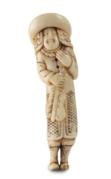
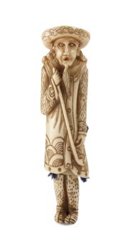
A MARINE IVORY NETSUKE OF A DUTCHMAN HOLDING A CHINESE FAN18th century
Price on requestZebregs & Röell - Fine Art - Antiques
Unknown artist
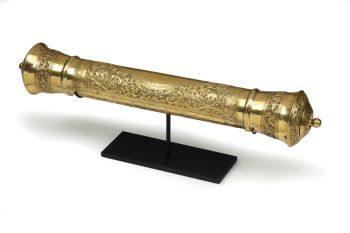
A GILT-SILVER SRI LANKAN DOCUMENT SCROLL CONTAINER 19th century
Price on requestZebregs & Röell - Fine Art - Antiques
Unknown artist
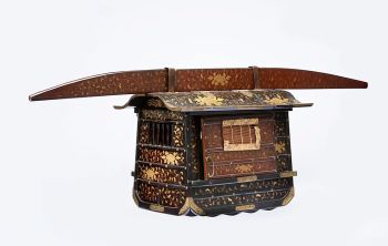
A JAPANESE MODEL OF A NORIMONO, A PALANQUIN1650 - 1700
Price on requestZebregs & Röell - Fine Art - Antiques
Unknown artist
A SMALL IVORY NETSUKE OF A DUTCHMAN WITH A DRUM1750 - 1800
Price on requestZebregs & Röell - Fine Art - Antiques
Unknown artist
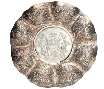
AN UNUSUAL INDONESIAN LOBBED SILVER DISHlate 17th
Price on requestZebregs & Röell - Fine Art - Antiques
1 - 4 / 24- 1 - 4 / 24
- 1 - 4 / 12

