Nicolaes era l'unico figlio di Claes Jansz. Pescatore. È anche conosciuto con i nomi: Nicolaas o Claes Claesz. Dopo anni di lavoro per il padre nell'azienda, gli succedette dopo la sua morte nel 1652. Nel 1662 fu ammesso alla corporazione dei librai di Amsterdam e nel 1677 Nicolaes, ormai rispettato editore, ricevette un brevetto di 15 anni dagli stati dell'Olanda e della Frisia occidentale per la stampa e la pubblicazione di mappe. Morì due anni dopo e fu sepolto nella stessa cappella del padre.
Le edizioni Atlas di Nicolaes I includevano:
"Atlas Contractus Orbis Terrarum" del 1657.
“Germania Inferiore” del 1663.
"Atlante Minore" del 1675.
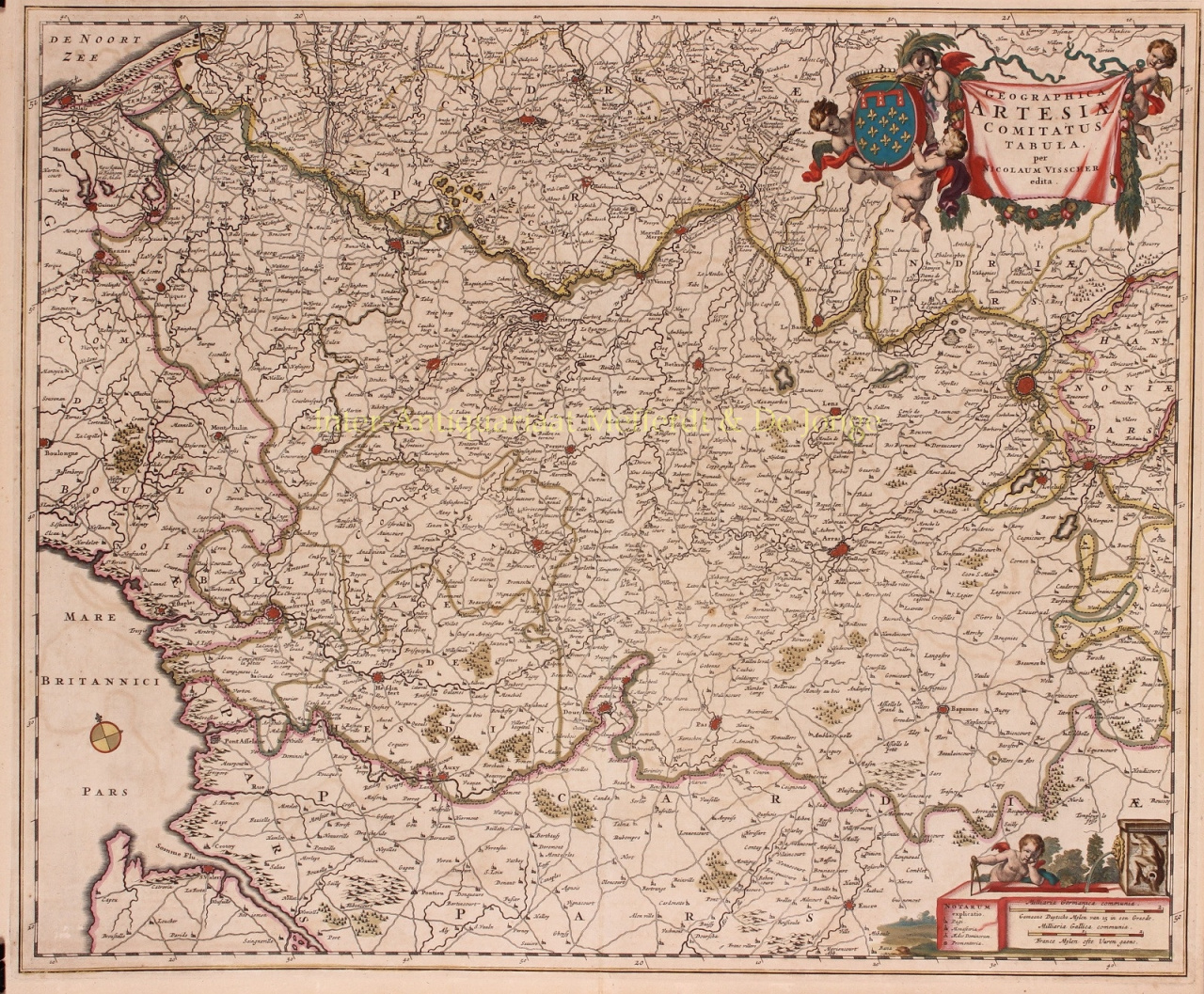
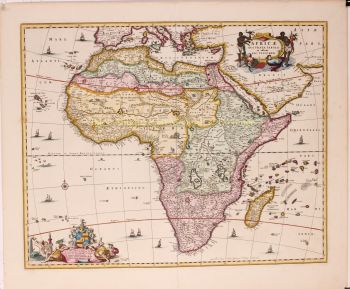
Gli atlanti di Visscher venivano spesso compilati secondo i desideri degli acquirenti (il cosiddetto Atlas Contractus). Generalmente non contengono testo, solo a volte un indice stampato. Sono state utilizzate carte di altri produttori, lastre di rame autoincise e lavorate da suo padre.
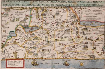
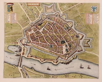
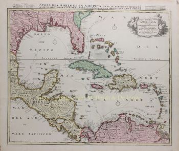
Uno dei punti salienti della cartografia seicentesca è la mappa murale a più pagine. Ne è un esempio - del 1656 - la carta della Zelanda: “Zelandiae Comitatus novissima Tabula”. Questo consisteva in nove fogli che insieme avevano una dimensione di 140 x 160 cm. Aggiungendo paesaggi urbani, la mappa potrebbe essere ulteriormente ingrandita. Questi paesaggi urbani furono a loro volta pubblicati intorno al 1668 con il nome: “Speculum Zelandiae”.


![European hunting party] by Artista Sconosciuto](https://media-2.gallerease.com/images/cb8cbebf-7709-4817-9bdb-fef8ae1e93cf/350x350/european-hunting-party.jpg)