America, Louisiana  by Henri Chatelain
Scroll to zoom, click for slideshow

America, Louisiana 1719

Henri Chatelain

Atualmente indisponível via Gallerease

  • Sobre arte
    Carte de la nouvelle France, on se voit le cours des Grandes Rivieres de S. Laurens et de Mississippi. Copper engraving by Henri Chatelain. Published in Amsterdam 1719. From Chatelain's "Atlas Historique et Méthodique". With original hand colouring. Size: 42,1 x 48,4 cm. Beautiful map of eastern North America copied from De Fer, and designed to show the courses of the St. Laurence and the Mississippi rivers. Containing lots of inland detail with notes and vignettes of the indigenous peoples and fauna of North America. In an inset at top left the coast of Louisiana, in another inset at bottom right a panoramic view and plan of Quebec. Louisiana and the Mississippi valley are based on Delisle's manuscript map of 1701. The geography of New England and Eastern Canada originates with Franquelin. A large-scale map of the Mississippi delta and Mobile Bay, based on the voyage of Le Moyne is inset at top left. The map is filled with wildlife, scenes of Indians hunting, Indian villages and notations, and the oceans are embellished with numerous ships, canoes and sea monsters. The map was issued to promote the newly established Compagnie Francoise Occident, which was formed to fund the debt of Louix XIV and offered inducements to encourage settlement in Louisiana. Price: Euro2.250,- (excl VAT/BTW)
  • Sobre artista

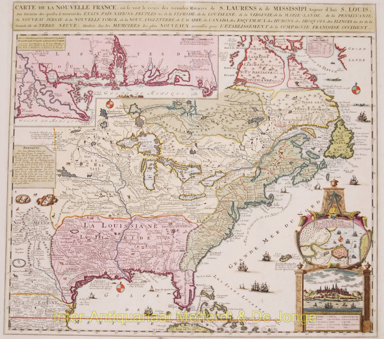
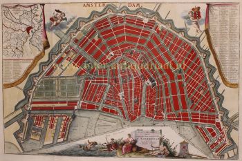
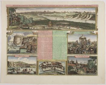
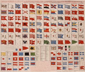
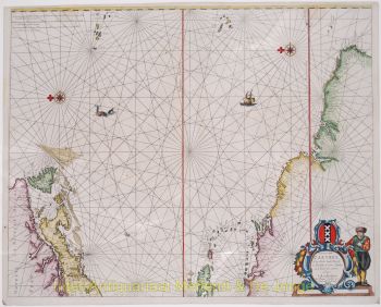
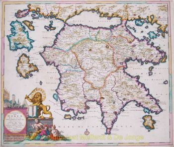
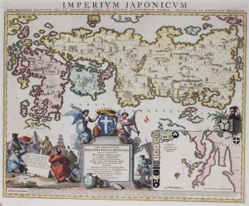
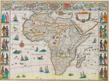
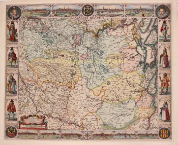
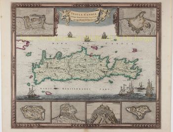
    O pastor huguenote Henri Abraham Chatelain (1684–1743) nasceu em Paris, mas mudou-se pela Europa à medida que as hostilidades religiosas aumentavam sob Luís XIV. Ao longo das primeiras décadas do século XVII, Chatelain trabalhou com seu pai, Zacharie (falecido em 1723), e mais tarde com seu filho, também Zacharie (1690–1754), para publicar vários mapas e livros influentes. Chatelain elaborou seus próprios mapas originais, que transmitiam a amplitude de seu conhecimento histórico e geográfico por meio de seus detalhes etnográficos, heráldicos e cosmográficos.

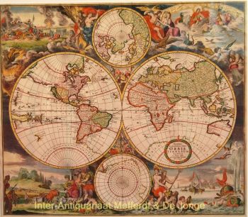
    De 1705 a 1720, a família Chatelain publicou o monumental Atlas historique, ou nouvelle Introduction à l'histoire, à la chronologie & à la géographie ancienne et moderne em sete volumes, que incluía duzentos e oitenta e cinco mapas gravados, vistas, planos , tabelas, cartas heráldicas e genealógicas. Enquanto o próprio Henri Chatelain foi responsável pelas placas, o extenso texto que o acompanha foi compilado pelo historiador Nicholas Gueudeville-Garillon e incluiu um suplemento do polímata Henri Philippe de Limiers.

    Chatelain baseou seus mapas no trabalho de cartógrafos e escritores de viagens contemporâneos e anteriores, incluindo Guillaume Delisle e Nicholas Sanson.

Artwork details