America, Louisiana  by Henri Chatelain
Scroll to zoom, click for slideshow

Amérique, Louisiane 1719

Henri Chatelain

Actuellement indisponible via Gallerease

  • Sur l'oeuvre d'art
    Carte de la nouvelle France, on se voit le cours des Grandes Rivieres de S. Laurens et de Mississippi. Copper engraving by Henri Chatelain. Published in Amsterdam 1719. From Chatelain's "Atlas Historique et Méthodique". With original hand colouring. Size: 42,1 x 48,4 cm. Beautiful map of eastern North America copied from De Fer, and designed to show the courses of the St. Laurence and the Mississippi rivers. Containing lots of inland detail with notes and vignettes of the indigenous peoples and fauna of North America. In an inset at top left the coast of Louisiana, in another inset at bottom right a panoramic view and plan of Quebec. Louisiana and the Mississippi valley are based on Delisle's manuscript map of 1701. The geography of New England and Eastern Canada originates with Franquelin. A large-scale map of the Mississippi delta and Mobile Bay, based on the voyage of Le Moyne is inset at top left. The map is filled with wildlife, scenes of Indians hunting, Indian villages and notations, and the oceans are embellished with numerous ships, canoes and sea monsters. The map was issued to promote the newly established Compagnie Francoise Occident, which was formed to fund the debt of Louix XIV and offered inducements to encourage settlement in Louisiana. Price: Euro2.250,- (excl VAT/BTW)
  • Sur l'artiste

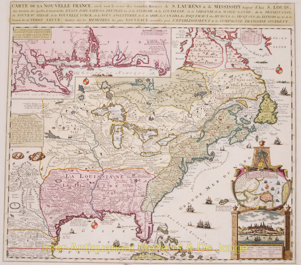
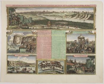
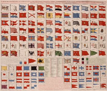
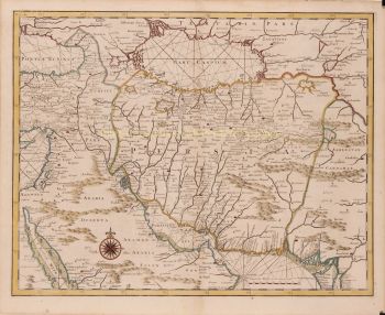
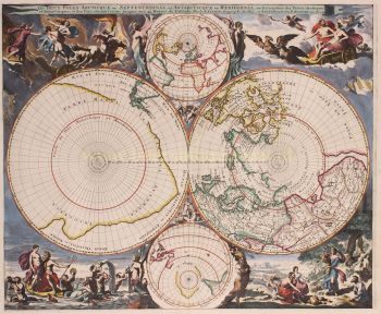
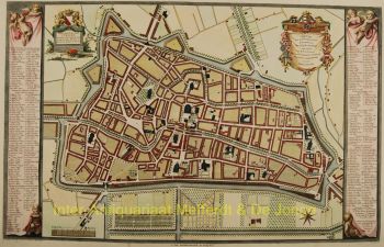
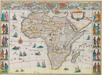
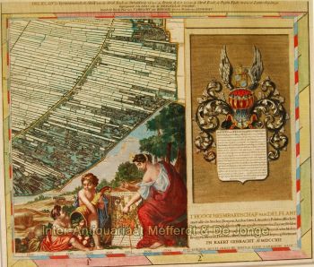
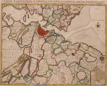
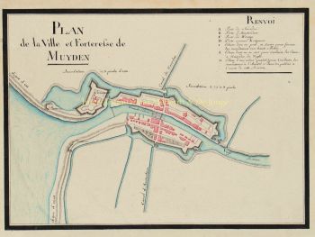
    Le pasteur huguenot Henri Abraham Chatelain (1684-1743) est né à Paris, mais s'est déplacé à travers l'Europe alors que les hostilités religieuses augmentaient sous Louis XIV. Tout au long des premières décennies du XVIIe siècle, Chatelain a travaillé avec son père, Zacharie (mort en 1723), et plus tard son fils, également Zacharie (1690-1754), pour publier un certain nombre de cartes et de livres influents. Chatelain a rédigé ses propres cartes originales, qui ont transmis l'étendue de ses connaissances historiques et géographiques à travers leurs détails ethnographiques, héraldiques et cosmographiques.

    De 1705 à 1720, la famille Chatelain publie le monumental Atlas historique, ou nouvelle introduction à l'histoire, à la chronologie & à la géographie ancienne et moderne en sept volumes, qui comprend deux cent quatre-vingt-cinq cartes gravées, vues, plans , tableaux, tableaux héraldiques et généalogiques. Alors qu'Henri Chatelain lui-même était responsable des planches, le vaste texte d'accompagnement a été compilé par l'historien Nicolas Gueudeville-Garillon et comprenait un supplément du polymathe Henri Philippe de Limiers.

    Chatelain a basé ses cartes sur le travail de cartographes et d'écrivains de voyage contemporains et antérieurs, dont Guillaume Delisle et Nicholas Sanson.

Artwork details