America, Louisiana  by Henri Chatelain
Scroll to zoom, click for slideshow

Amerika, Louisiana 1719

Henri Chatelain

Momenteel niet beschikbaar via Gallerease

  • Over kunstwerk
    Carte de la nouvelle France, on se voit le cours des Grandes Rivieres de S. Laurens et de Mississippi. Copper engraving by Henri Chatelain. Published in Amsterdam 1719. From Chatelain's "Atlas Historique et Méthodique". With original hand colouring. Size: 42,1 x 48,4 cm. Beautiful map of eastern North America copied from De Fer, and designed to show the courses of the St. Laurence and the Mississippi rivers. Containing lots of inland detail with notes and vignettes of the indigenous peoples and fauna of North America. In an inset at top left the coast of Louisiana, in another inset at bottom right a panoramic view and plan of Quebec. Louisiana and the Mississippi valley are based on Delisle's manuscript map of 1701. The geography of New England and Eastern Canada originates with Franquelin. A large-scale map of the Mississippi delta and Mobile Bay, based on the voyage of Le Moyne is inset at top left. The map is filled with wildlife, scenes of Indians hunting, Indian villages and notations, and the oceans are embellished with numerous ships, canoes and sea monsters. The map was issued to promote the newly established Compagnie Francoise Occident, which was formed to fund the debt of Louix XIV and offered inducements to encourage settlement in Louisiana. Price: Euro2.250,- (excl VAT/BTW)
  • Over kunstenaar

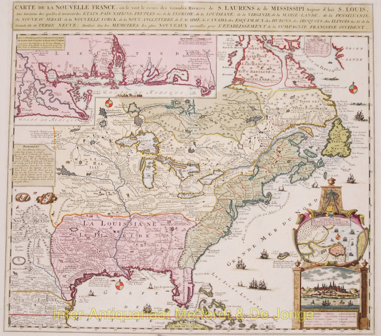
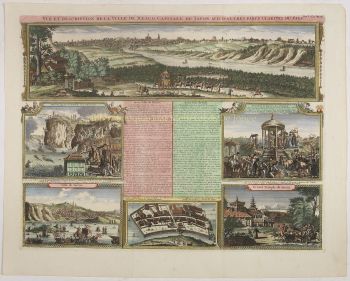
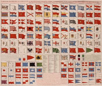
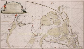
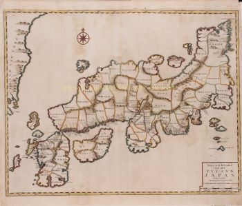
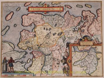
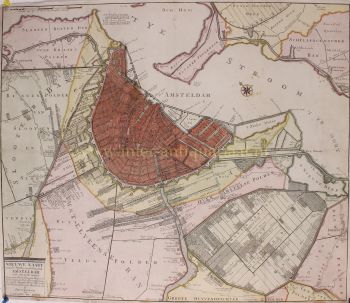
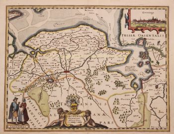
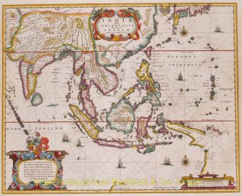
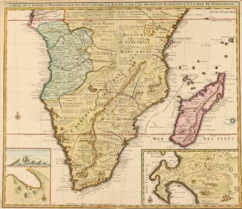
    De hugenootse predikant Henri Abraham Chatelain (1684–1743) werd geboren in Parijs, maar trok door Europa toen de religieuze vijandelijkheden onder Lodewijk XIV toenamen. Gedurende de eerste decennia van de zeventiende eeuw werkte Chatelain samen met zijn vader, Zacharie (overleden in 1723), en later zijn zoon, ook Zacharie (1690–1754), om een aantal invloedrijke kaarten en boeken te publiceren. Chatelain stelde zijn eigen originele kaarten op, die de breedte van zijn historische en geografische kennis overbrachten door middel van hun etnografische, heraldische en kosmografische details.

    Van 1705 tot 1720 publiceerde de familie Chatelain de monumentale Atlas historique, ou nouvelle introductie à l'histoire, à la chronologie & à la géographie ancienne et moderne in zeven delen, waaronder tweehonderdvijfentachtig gegraveerde kaarten, aanzichten, plattegronden , tabellen, heraldische en genealogische kaarten. Terwijl Henri Chatelain zelf verantwoordelijk was voor de platen, werd de uitgebreide begeleidende tekst samengesteld door historicus Nicholas Gueudeville-Garillon, en bevatte een supplement van polymath Henri Philippe de Limiers.

    Chatelain baseerde zijn kaarten op het werk van hedendaagse en vroegere cartografen en reisschrijvers, waaronder Guillaume Delisle en Nicholas Sanson.

Artwork details