Scroll to zoom, click for slideshow
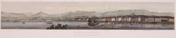
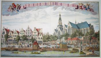
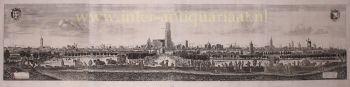
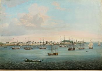
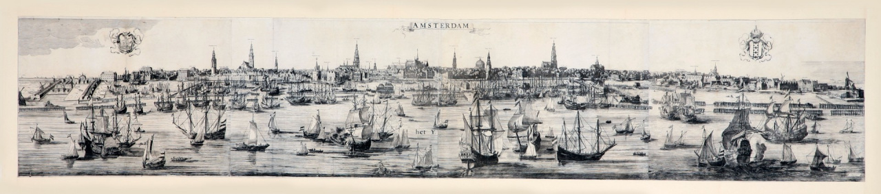
Large and beautifully executed panorama of Amsterdam 1728 - 1732
Reinier & Joshua Ottens
42 ⨯ 218 cm
ConditionExcellent
Attualmente non disponibile tramite Gallerease
Related artworks


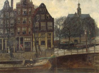
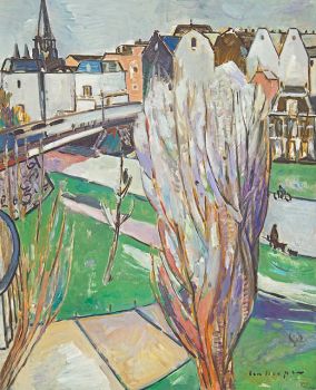
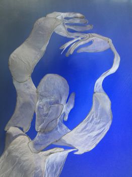
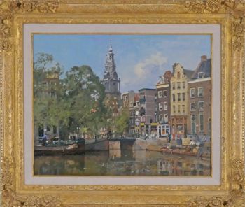
Dirk Johannes van Haaren
Brouwersgracht in Amsterdam (near Noordermarkt)1904
Prezzo su richiestaKunsthandel Pygmalion

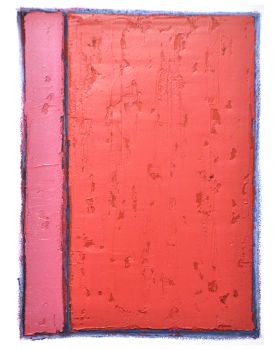
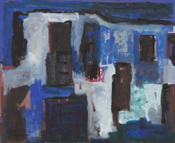
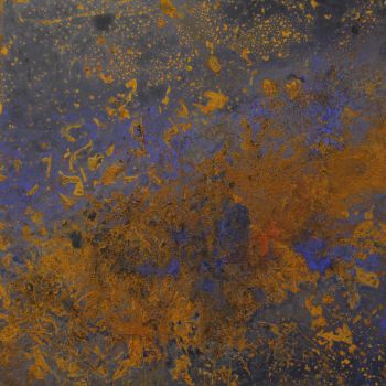
Rene Rietmeyer
TOKYO - Kudan House - January 2021 #052021
Prezzo su richiestaEuropean Cultural Centre Collection
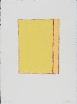
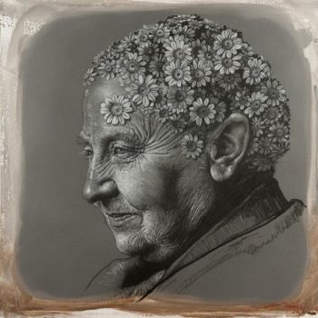
Rene Rietmeyer
TOKYO - Kudan House - January 2021 #012021
Prezzo su richiestaEuropean Cultural Centre Collection