Large and beautifully executed panorama of Amsterdam by Reinier & Joshua Ottens
Scroll to zoom, click for slideshow

Large and beautifully executed panorama of Amsterdam 1728 - 1732

Reinier & Joshua Ottens

InkPaper
42 ⨯ 218 cm
ConditionExcellent
Currently unavailable via Gallerease

  • About the artwork
    Amsterdam.
    [Amsterdam], Reinier and Josua Ottens, [ca. 1730]. Large engraved panorama on 4 sheets (ca. 42 x 218 cm as assembled). With title in banner at top centre, arms of the city at top right, city seal at top left and the primary locations with captions. Mounted and framed.

    Rare large engraved view of Amsterdam as seen from the inlet known as the IJ published by Reinier and Josua Ottens ca. 1730, with numerous ships on the IJ. It's the last state of the view by Jacob Savry published in 1647 and partly updated, including the changes made by Visscher in his issue from 1653. Most obvious are the changes on the east part of the city, with several new buildings including ''s Lands Zeemagazijn', now known as the Netherlands Maritime Museum.
    Washed and with one minor professional restoration near the title. Very good copy of a beautifully executed an detailed view of Amsterdam.
    D'Ailly, Profielen 186; De Vries, Atlas van Amsterdam 14; cf. D'Ailly, Profielen 55 & 74.
  • About the artist

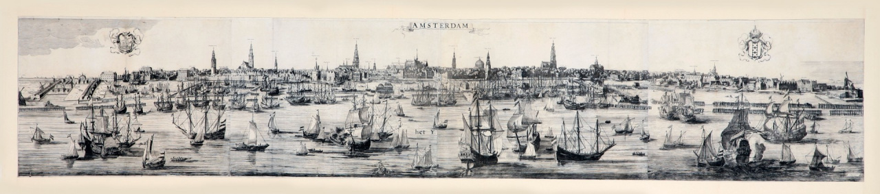
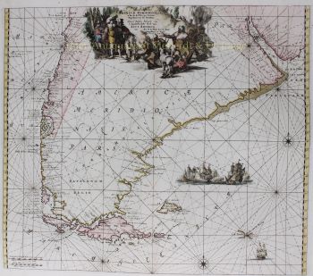
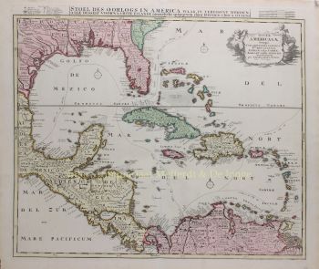
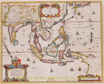
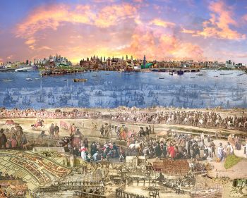
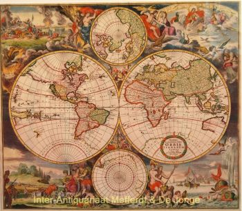
    The period from 1630 to 1700 was the "golden age" of Dutch cartography. The maps were perceived as works of art, manual work was highly valued, engraving was at the highest level, but from the point of view of the geographical accuracy, maps of Dutch masters were inferior to maps produced in Germany, France and other European countries.

    Joachim, the founder of the Ottens firm, was born in Amsterdam and initially worked as a copper engraver. In 1711 he founded his own firm engaged in publishing and printing business, selling books, maps, postcards and illustrating them.

    Although Joachim died a few years later, his sons, Renier and Joshua, successfully continued their father's business. The most significant contribution to the cartography of the Ottens family was the huge multivolume atlases they made to order, such as Atlas Major. Some Atlas issues are composed of more than 800 separately issued maps.