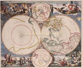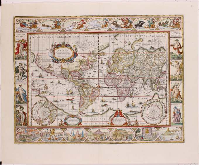
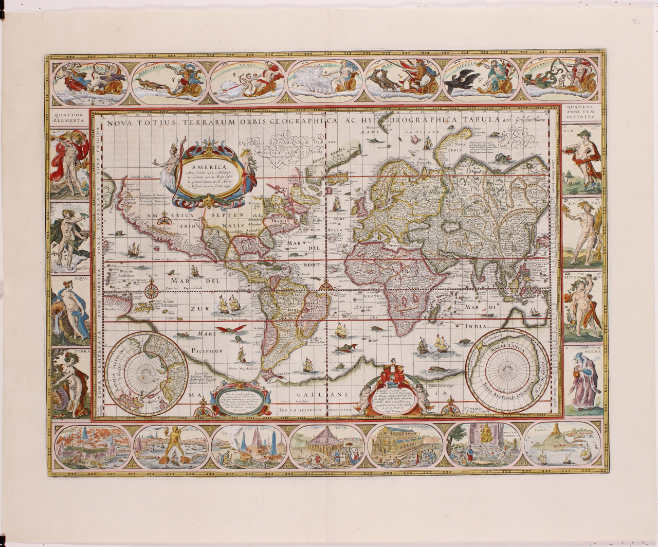
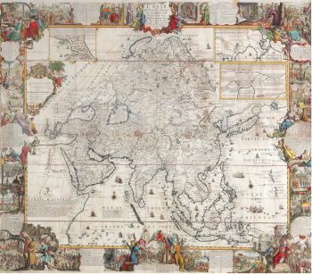
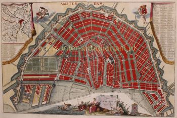
World map 1606
Willem Janszoon Blaeu
41 ⨯ 55 cm
€ 11.500
Inter-Antiquariaat Mefferdt & De Jonge
Sei interessato ad acquistare questa opera d'arte?
Related artworks
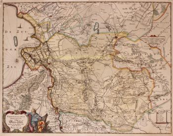
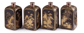
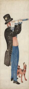
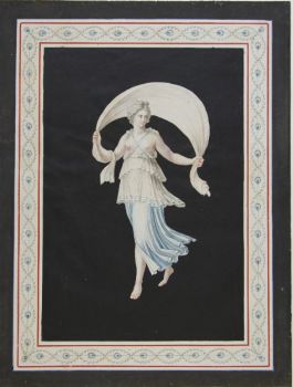
Artista Sconosciuto
A large wall map of Asia by Nicolas de Fer 1647 - 1720
Prezzo su richiestaZebregs & Röell - Fine Art - Antiques

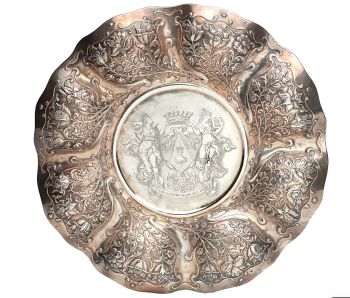
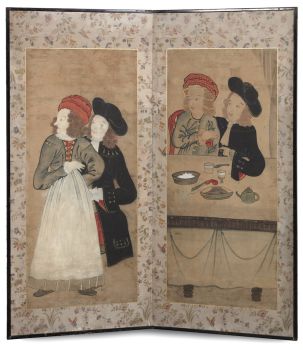
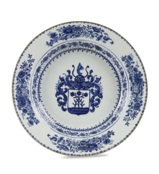
Artista Sconosciuto
UN INSOLITO PIATTO D'ARGENTO LOBBATO INDONESIlate 17th
Prezzo su richiestaZebregs & Röell - Fine Art - Antiques
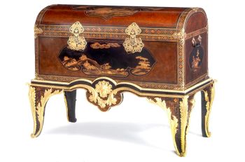
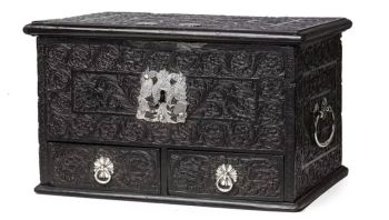
Artista Sconosciuto
Japanese transition-style lacquer coffer 1640 - 1650
Prezzo su richiestaZebregs & Röell - Fine Art - Antiques
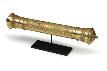
Artista Sconosciuto
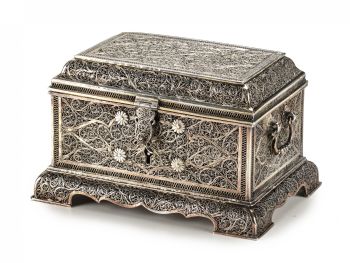
UN CONTENITORE PER DOCUMENTI DELLO SRI LANKA IN ARGENTO DORATO19th century
Prezzo su richiestaZebregs & Röell - Fine Art - Antiques
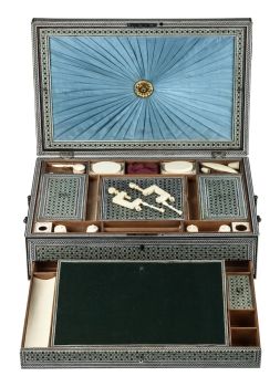
Artista Sconosciuto
UN RARO SADELI INDIANO COMPLETO DI LAVORO E SCRITTURA INTARSIATI1800 - 1850
Prezzo su richiestaZebregs & Röell - Fine Art - Antiques
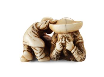
Artista Sconosciuto
UN NETSUKE IN AVORIO DI UN OLANDESE CHE GIOCA CON UN RAGAZZINO18th century
Prezzo su richiestaZebregs & Röell - Fine Art - Antiques
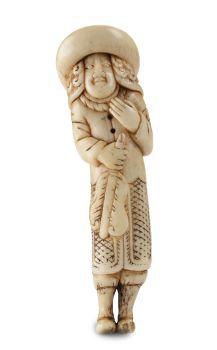
Artista Sconosciuto
UN NETSUKE MARINO IN AVORIO DI UN OLANDESE CHE TIENE UN FAN . CINESE18th century
Prezzo su richiestaZebregs & Röell - Fine Art - Antiques
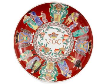
Artista Sconosciuto
A large Japanese Imari porcelain 'VOC Groningen' dish1800 - 1925
Prezzo su richiestaZebregs & Röell - Fine Art - Antiques
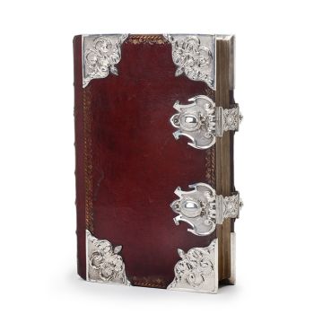
Tilmanus Nicolaus Maastricht
Missale Romanum con fornimenti d'argento olandesi1788 - 1792
Prezzo su richiestaJacob J. Roosjen SRI
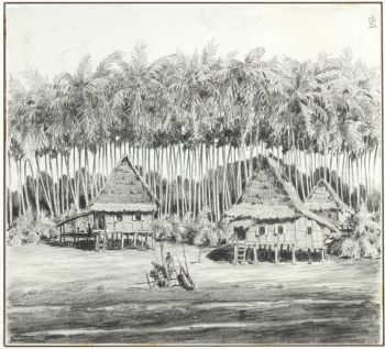
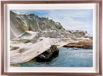
Artista Sconosciuto
Set of eight gouache drawings1799 - 1801
Prezzo su richiestaRobert Schreuder Antiquair