Russia  by Nicolaes Visscher
Scroll to zoom, click for slideshow

Russia 1681

Nicolaes Visscher

€ 1.250

Inter-Antiquariaat Mefferdt & De Jonge

  • About the artwork
    Moscoviae seu Russiae Magnae Generalis Tabula quâ Lapponia, Norvegia Suecia, Dania, Polonia, Maximaeque partes Germaniae, Tartariae, Turcici Imperii, aliaeque Regiones adjacentes simul ostenduntur; de novo correcta et edita. Kopergravure uitgegeven door Nicolaes Visscher II als onderdeel van de "Atlas Minor"? na 1681. Later met de hand gekleurd. Afm.: 41,5 x 52,5 cm. Uitgevershuis Visscher kwam op toen Claes Jansz. Visscher rond 1608 begon met het versieren van de kaarten van Willem Blaeu en Jodocus Hondius. De uitgeverij zou onder zijn zoon Nicolaes I en kleinzoon Nicolaes II (1649-1702) uitgroeien tot een van de belangrijkste uitgevers van kaarten, plattegronden, stadsgezichten en prenten. Visschers Atlas Minor was niet zo klein als gelijknamige atlassen uit die tijd. De uitgave was op folio-formaat en bevatte tussen de 60 en 150 kaarten. Nicolaes II kreeg steeds meer kaarten van eigen fabricage tot zijn beschikking en werd minder afhankelijk van de vroegere werken van vader en grootvader. Verouderde Visscher kaarten werden in 1684 bij opbod verkocht. De kennis over Rusland in de 17de eeuw voert terug naar Isaac Massa (1585-1643?), een Haarlemse graanhandelaar en de eerste Nederlandse diplomaat aan het Kremlin. Massa verzamelde gegevens van Russische ontdekkingsreizigers waarvan hij verschillende kaarten maakte. Massa's weergave van de Siberische kust betekende een enorme sprong voorwaarts in geografische kennis en was tientallen jaren de enige kaart van het gebied. De kaart werd gekopieerd door Nederlandse uitgevers als Mercator, Hondius, Janssonius en Blaeu. Prijs: Euro1.250,-
  • About the artist

    Nicolaes was the only son of Claes Jansz. Fisher. He is also known by the names: Nicolaas or Claes Claesz. After years of working for his father in the business, he succeeded him after his death in 1652. In 1662 he was admitted to the Amsterdam booksellers' guild and in 1677 Nicolaes, by now a respected publisher, received a 15-year patent from the states of Holland and West Friesland for the printing and publishing of maps. He died two years later and was buried in the same chapel as his father.

    Atlas editions of Nicolaes I included:

    "Atlas Contractus Orbis Terrarum" from 1657.
    “Germania Inferior” from 1663.
    “Atlas Minor” from 1675.
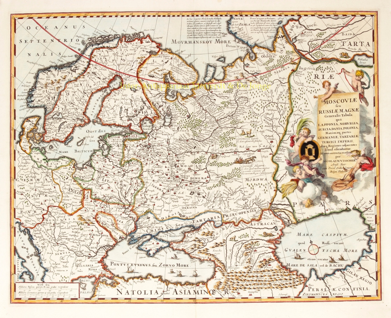
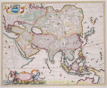
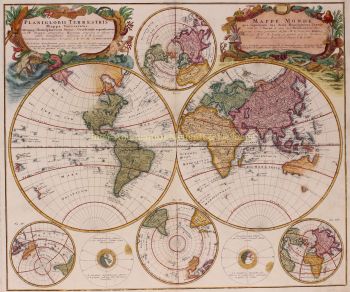
    Visscher's atlases were often compiled according to the wishes of the buyers (the so-called Atlas Contractus). They generally contain no text, only sometimes a printed index. Cards from other makers were used, self-engraved and worked copper plates from his father.

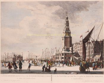
    One of the highlights of seventeenth-century cartography is the multi-page wall map. An example of this - from 1656 - is the map of Zeeland: “Zelandiae Comitatus novissima Tabula”. This consisted of nine sheets that together had a size of 140 x 160 cm. By adding cityscapes, the map could be enlarged even further. These cityscapes were in turn published around 1668 under the name: “Speculum Zelandiae”.

Are you interested in buying this artwork?

Artwork details